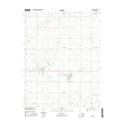
2015 Map of La Harpe
USGS Topo · Published 2015About this map
La Harpe and the neighboring settlements of Gas and Gas City anchor the center of this Allen County survey, showing the established grid systems and residential expansion in eastern Kansas during the early 21st century. The landscape is defined by the headwaters of several drainages, including Rock Creek, Elm Creek, and Little Deer Cr, which cut through the agricultural sections. For genealogists, the map is particularly useful as it identifies several burial sites across the township, such as Pioneer Cem to the northwest, Saint Johns Catholic Cem, and the La Harpe Cem. The layout of the small towns is shown in high detail, with specific street names like Chestnut Street and Mc Rae Street appearing alongside the expansive rural road network that connects these communities.
Find a feature on this map
65 named features on this map. Tap any name to fly to it.
Don’t see what you’re looking for? This feature index may not catch every label — zoom into the map to look around manually.
Map Details
Editions of this 2015 La Harpe Map
This is the sole edition of this map. No revisions or reprints were ever made.
Other maps of this area

1885 · Garnett
USGS Topo · 1:125,000

1886 · Iola
USGS Topo · 1:125,000

1893 · Iola
USGS Topo · 1:125,000

1894 · Garnett
USGS Topo · 1:125,000

1904 · Iola
USGS Topo · 1:125,000

1947 · Lawrence
USGS Topo · 1:250,000

1947 · Joplin
USGS Topo · 1:250,000

1949 · Joplin
USGS Topo · 1:250,000

1950 · Lawrence
USGS Topo · 1:250,000

1954 · Joplin
USGS Topo · 1:250,000