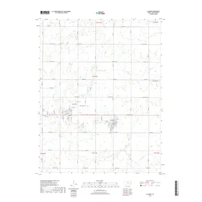
2018 Map of La Harpe
USGS Topo · Published 2018About this map
The neighboring towns of Gas and La Harpe anchor this late 2010s survey of eastern Allen County. The landscape is structured by a grid of roads named for American states, such as Oregon Rd, Nebraska Rd, and Missouri Rd, reflecting the systematic agricultural development of the Kansas plains. Several small cemeteries, including Pioneer Cem, Gas City Cem, and Saint John's Catholic Cem, are scattered across the quadrangle, offering points of interest for genealogists tracing local families in the vicinity of these settlements.
Find a feature on this map
43 named features on this map. Tap any name to fly to it.
Don’t see what you’re looking for? This feature index may not catch every label — zoom into the map to look around manually.
Map Details
Editions of this 2018 La Harpe Map
This is the sole edition of this map. No revisions or reprints were ever made.
Other maps of this area

1885 · Garnett
USGS Topo · 1:125,000

1886 · Iola
USGS Topo · 1:125,000

1893 · Iola
USGS Topo · 1:125,000

1894 · Garnett
USGS Topo · 1:125,000

1904 · Iola
USGS Topo · 1:125,000

1947 · Lawrence
USGS Topo · 1:250,000

1947 · Joplin
USGS Topo · 1:250,000

1949 · Joplin
USGS Topo · 1:250,000

1950 · Lawrence
USGS Topo · 1:250,000

1954 · Joplin
USGS Topo · 1:250,000