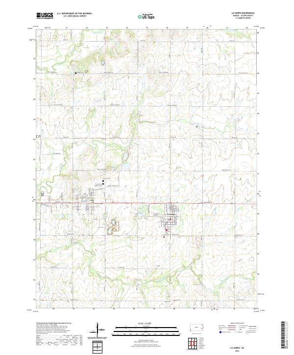
2022 Map of La Harpe
USGS Topo · Published 2022About this map
Gas and La Harpe sit as central hubs in this eastern Kansas landscape, defining the residential and civic character of the area. The local heritage is strongly marked by several burial grounds, including the historic Pioneer Cem, Gas City Cem, and La Harpe Cem, along with Saint John's Catholic Cem. These sites provide significant points of interest for genealogical research and local history studies. The terrain is drained by a network of waterways such as Elm Creek, Little Deer Cr, and Rock Creek, which meander through the prairie landscape. A dense grid of county roads, including Texas RD and Oregon RD, connects the various sections and townships, illustrating the organized agricultural and residential development of Allen County in the early twenty-first century.
Find a feature on this map
63 named features on this map. Tap any name to fly to it.
Don’t see what you’re looking for? This feature index may not catch every label — zoom into the map to look around manually.
Map Details
Editions of this 2022 La Harpe Map
This is the sole edition of this map. No revisions or reprints were ever made.
Other maps of this area

1885 · Garnett
USGS Topo · 1:125,000

1886 · Iola
USGS Topo · 1:125,000

1893 · Iola
USGS Topo · 1:125,000

1894 · Garnett
USGS Topo · 1:125,000

1904 · Iola
USGS Topo · 1:125,000

1947 · Lawrence
USGS Topo · 1:250,000

1947 · Joplin
USGS Topo · 1:250,000

1949 · Joplin
USGS Topo · 1:250,000

1950 · Lawrence
USGS Topo · 1:250,000

1954 · Joplin
USGS Topo · 1:250,000