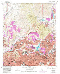
1967 Map of La Mesa
USGS Topo · Published 1978About this map
Mission San Diego de Alcala anchors this mid-century view of the developing East County region, situated just south of the Mission Valley floor. The map documents a period of intense post-war suburbanization, with extensive new development in La Mesa, El Cajon, and Spring Valley shown in purple revisions. Education and military infrastructure are prominent, ranging from the sprawling San Diego State College campus to the Miramar Naval Air Station and US Naval Res.
Find a feature on this map
95 named features on this map. Tap any name to fly to it.
Don’t see what you’re looking for? This feature index may not catch every label — zoom into the map to look around manually.
Map Details
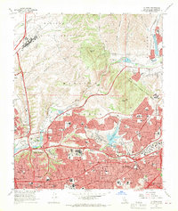
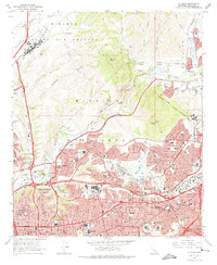
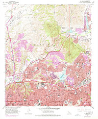
Editions of this 1967 La Mesa Map
4 editions found
Other maps of this area

1893 · El Cajon
USGS Topo · 1:62,500

1901 · Elcajon
USGS Topo · 1:62,500

1903 · Cuyamaca
USGS Topo · 1:125,000

1903 · La Jolla
USGS Topo · 1:62,500

1903 · Elcajon
USGS Topo · 1:62,500

1904 · San Diego
USGS Topo · 1:62,500

1904 · Southern California Sheet No. 2
USGS Topo · 1:250,000

1930 · La Jolla
USGS Topo · 1:62,500

1930 · San Diego
USGS Topo · 1:62,500

1939 · El Cajon
USGS Topo · 1:62,500