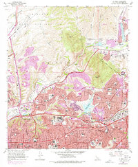
1967 Map of La Mesa
USGS Topo · Published 1984About this map
The historic Mission San Diego de Alcala and the nearby Mission Dam and Flume Historic Site stand as cultural anchors in this mid-century landscape, illustrating the deep colonial roots beneath modern urban expansion. The 1960s and 70s brought rapid growth to the area, visible in the sprawling residential developments of Grantville, Normal Heights, and East San Diego. The educational landscape is particularly dense, anchored by the San Diego State College campus and numerous institutions like Helix High Sch and St Therese Academy.
Find a feature on this map
78 named features on this map. Tap any name to fly to it.
Don’t see what you’re looking for? This feature index may not catch every label — zoom into the map to look around manually.
Map Details
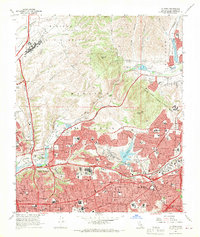
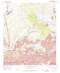
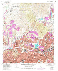
Editions of this 1967 La Mesa Map
4 editions found
Other maps of this area

1893 · El Cajon
USGS Topo · 1:62,500

1901 · Elcajon
USGS Topo · 1:62,500

1903 · Cuyamaca
USGS Topo · 1:125,000

1903 · La Jolla
USGS Topo · 1:62,500

1903 · Elcajon
USGS Topo · 1:62,500

1904 · San Diego
USGS Topo · 1:62,500

1904 · Southern California Sheet No. 2
USGS Topo · 1:250,000

1930 · La Jolla
USGS Topo · 1:62,500

1930 · San Diego
USGS Topo · 1:62,500

1939 · El Cajon
USGS Topo · 1:62,500