Loading...
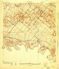
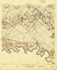
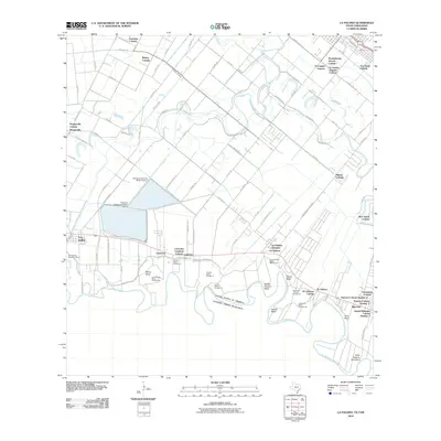
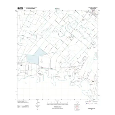
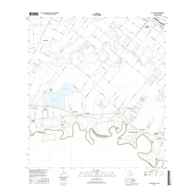
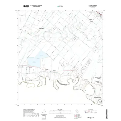
Loading map...1929 Map of La Paloma
USGS Topo · Published 1929About this map
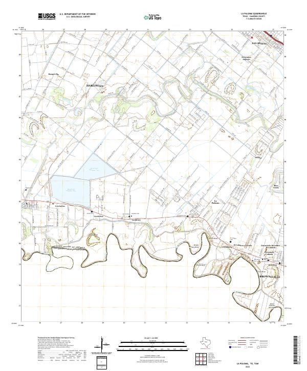
The Rio Grande meanders along the southern border of this landscape, defining the United States Mexico Boundary Line between Texas and Tamaulipas. This late 1920s environment is characterized by the complex irrigation and drainage patterns of the Lower Rio Grande Valley, where ancient river channels known as resacas, such as Resaca de los Fresnos and Resaca de la Rancho Viejo, twist through the agricultural plain.
Find a feature on this map
22 named features on this map. Tap any name to fly to it.
Don’t see what you’re looking for? This feature index may not catch every label — zoom into the map to look around manually.
Map Details
Date Portrayed1929
Date Published1929
PublisherU.S. Geological Survey
Map TypeTopographic
Scale1:24,000
Physical Dimensions23 x 26.9 inches
Editions of this 1929 La Paloma Map
This is the sole edition of this map. No revisions or reprints were ever made.
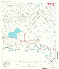
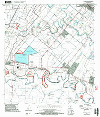
Historical Maps of Brownsville Through Time
9 maps found
Featured Locations
Source Details
SourceU.S. Geological Survey
CopyrightPublic Domain