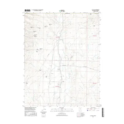
2017 Map of La Plata
USGS Topo · Published 2017About this map
The La Plata River corridor in San Juan County reveals a landscape defined by an intricate network of irrigation and desert water management. Settlements like La Plata are surrounded by engineered waterways including the La Plata Indian Ditch, Highland Park Ditch, and the Pioneer Ditch, which redirect flow from the river and various arroyos to support the arid plateau. This high-desert terrain is marked by significant geological features such as Barker Dome and the Cinder Bluffs, while numerous dry washes like Dawson Arroyo and McDermott Arroyo carve through the mesa country. Evidence of local history and genealogy is preserved at the LaPlata Cem and Greenhorn Cem, providing points of reference for the families who settled this region near the Colorado border.
Find a feature on this map
74 named features on this map. Tap any name to fly to it.
Don’t see what you’re looking for? This feature index may not catch every label — zoom into the map to look around manually.
Map Details
Editions of this 2017 La Plata Map
This is the sole edition of this map. No revisions or reprints were ever made.
Other maps of this area

1889 · Chaco
USGS Topo · 1:250,000

1892 · Chaco
USGS Topo · 1:250,000

1912 · Soda Canyon
USGS Topo · 1:62,500

1913 · Red Mesa
USGS Topo · 1:62,500

1915 · Soda Canyon
USGS Topo · 1:62,500

1954 · Shiprock
USGS Topo · 1:250,000

1956 · Cortez
USGS Topo · 1:250,000

1958 · Cortez
USGS Topo · 1:250,000

1958 · Shiprock
USGS Topo · 1:250,000

1959 · Shiprock
USGS Topo · 1:250,000