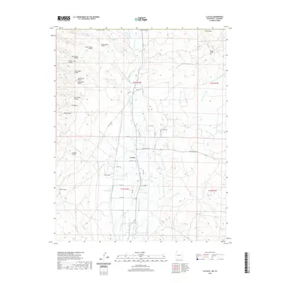
2020 Map of La Plata
USGS Topo · Published 2020About this map
La Plata is the central hub of this northern San Juan County landscape, situated where the La Plata River flows through a series of complex canyons and mesa systems. The local economy is visibly shaped by resources and geography, indicated by La Plata Mine Rd and Mine Rd leading toward the western plateaus. Water management is a primary feature of the terrain, with the Pioneer Ditch running parallel to the river and various stock tanks like Talley Tank and Blue Rock Tank supporting operations in the arid stretches.
Find a feature on this map
63 named features on this map. Tap any name to fly to it.
Don’t see what you’re looking for? This feature index may not catch every label — zoom into the map to look around manually.
Map Details
Editions of this 2020 La Plata Map
This is the sole edition of this map. No revisions or reprints were ever made.
Other maps of this area

1889 · Chaco
USGS Topo · 1:250,000

1892 · Chaco
USGS Topo · 1:250,000

1912 · Soda Canyon
USGS Topo · 1:62,500

1913 · Red Mesa
USGS Topo · 1:62,500

1915 · Soda Canyon
USGS Topo · 1:62,500

1954 · Shiprock
USGS Topo · 1:250,000

1956 · Cortez
USGS Topo · 1:250,000

1958 · Cortez
USGS Topo · 1:250,000

1958 · Shiprock
USGS Topo · 1:250,000

1959 · Shiprock
USGS Topo · 1:250,000