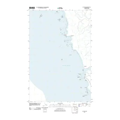
2011 Map of La Push
USGS Topo · Published 2011About this map
James Island and a series of dramatic sea stacks define the entrance to the Quillayute River at the village of La Push. This coastal landscape, documented in 2011, highlights the intersection of the river's mouth and the Pacific Ocean, where the Quileute Marina supports local maritime activity. The coastline is marked by significant navigational and historical landmarks, including Cape Johnson and the Chilean Memorial Monument to the north.
Find a feature on this map
28 named features on this map. Tap any name to fly to it.
Don’t see what you’re looking for? This feature index may not catch every label — zoom into the map to look around manually.
Map Details
Editions of this 2011 La Push Map
This is the sole edition of this map. No revisions or reprints were ever made.
Other maps of this area

1935 · Ozette Lake
USGS Topo · 1:62,500

1942 · Ozette Lake
USGS Topo · 1:62,500

1943 · Copalis Beach
USGS Topo · 1:250,000

1951 · Copalis Beach
USGS Topo · 1:250,000

1953 · Cape Flattery
USGS Topo · 1:250,000

1956 · La Push
USGS Topo · 1:62,500

1956 · Ozette Lake
USGS Topo · 1:62,500

1957 · Copalis Beach
USGS Topo · 1:250,000

1963 · Copalis Beach
USGS Topo · 1:250,000

1963 · Cape Flattery
USGS Topo · 1:250,000