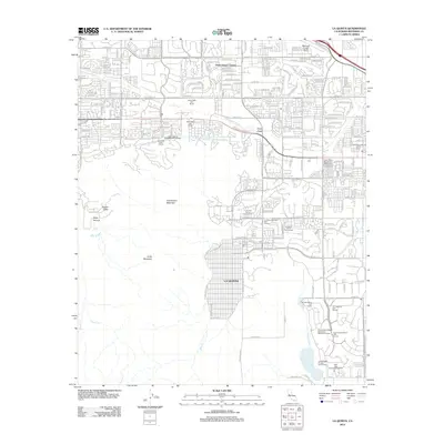
2012 Map of La Quinta
USGS Topo · Published 2012About this map
La Quinta and the surrounding Coachella Valley floor exhibit a landscape defined by intensive irrigation and recreational development in this 2012 survey. The transition from the rugged slopes of Eisenhower Mountain and Indio Mountain to the meticulously planned resort communities is stark, marked by an expansive network of fairways including the Indian Wells Golf Resort and the Jack Nicklaus Resort Golf Course. Significant water infrastructure dominates the valley floor, from the Whitewater River and Deep Canyon Stormwater Channel to the southern reaches of the Coachella Canal. To the southeast, Lake Cahuilla serves as a major hydrological landmark, while the northern edge of the map features the Bermuda Dunes Airport and the residential core of Palm Desert Country. This record shows the region's total transformation from arid desert to a high-density leisure corridor through engineering and water management.
Find a feature on this map
45 named features on this map. Tap any name to fly to it.
Don’t see what you’re looking for? This feature index may not catch every label — zoom into the map to look around manually.
Map Details
Editions of this 2012 La Quinta Map
This is the sole edition of this map. No revisions or reprints were ever made.
Other maps of this area

1904 · Indio
USGS Topo · 1:125,000

1941 · Toro Peak
USGS Topo · 1:62,500

1941 · Coachella
USGS Topo · 1:62,500

1941 · Edom
USGS Topo · 1:62,500

1943 · Coachella
USGS Topo · 1:62,500

1944 · Toro peak
USGS Topo · 1:62,500

1944 · Edom
USGS Topo · 1:62,500

1944 · Pinyon Well
USGS Topo · 1:62,500

1947 · Santa Ana
USGS Topo · 1:250,000

1949 · Santa Ana
USGS Topo · 1:250,000