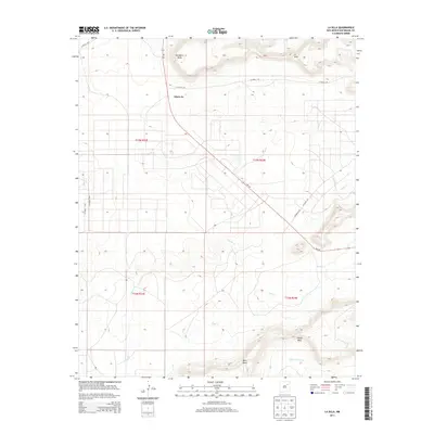
2013 Map of La Silla
USGS Topo · Published 2013About this map
Variadero Mesa and the prominent peak of La Silla define the high-desert topography of this San Miguel County region. The landscape is carved by seasonal drainages including Garita Creek, Pino Creek, and Little Cuervo Creek, which cut between broad plateaus like North Mesa and West Mesa. Human presence is concentrated along the corridor of NM-104, where the settlement of Adero Az sits near the junction of several county routes such as CO Road C-59. This survey illustrates the sprawling ranching and public land divisions typical of eastern New Mexico, organized under the township and range system including t13n r23e and t13n r24e. The transition from flat mesa tops to deep arroyos reflects the arid hydrology that has governed land use and travel in this area for generations.
Find a feature on this map
18 named features on this map. Tap any name to fly to it.
Don’t see what you’re looking for? This feature index may not catch every label — zoom into the map to look around manually.
Map Details
Editions of this 2013 La Silla Map
This is the sole edition of this map. No revisions or reprints were ever made.
Other maps of this area

1892 · Corazon
USGS Topo · 1:125,000

1894 · Corazon
USGS Topo · 1:125,000

1954 · Santa Fe
USGS Topo · 1:250,000

1958 · Santa Fe
USGS Topo · 1:250,000

1963 · Mesa Cherisco
USGS Topo · 1:24,000

1963 · Mesita Del Gato
USGS Topo · 1:24,000

1964 · Neafus Ranch
USGS Topo · 1:24,000

1972 · Variadero
USGS Topo · 1:24,000

1972 · Four V Ranch
USGS Topo · 1:24,000

1972 · La Silla
USGS Topo · 1:24,000