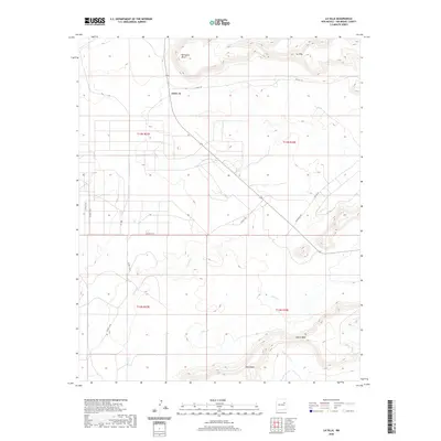
2020 Map of La Silla
USGS Topo · Published 2020About this map
Variadero Mesa and the prominent peak of La Silla define this high-altitude landscape in San Miguel County. The settlement of Adero Az serves as a central point along the winding mountain routes, including Co RD C-59 and Magnolia Rd. The drainage patterns of the high mesas are traced by intermittent watercourses like Garita Cr, Pino Cr, and Little Cuervo Cr, which cut through the tablelands of North Mesa and West Mesa. This modern survey illustrates the enduring relationship between topography and transit in northern New Mexico, where roads are constrained by the steep relief of the mesas. The map detail reflects the persistence of traditional land divisions, showing the boundaries of t13n r23e, t13n r24e, t12n r23e, and t12n r24e across the rugged terrain.
Find a feature on this map
19 named features on this map. Tap any name to fly to it.
Don’t see what you’re looking for? This feature index may not catch every label — zoom into the map to look around manually.
Map Details
Editions of this 2020 La Silla Map
This is the sole edition of this map. No revisions or reprints were ever made.
Other maps of this area
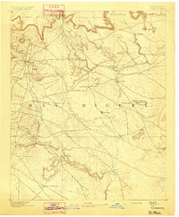
1892 · Corazon
USGS Topo · 1:125,000
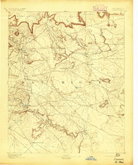
1894 · Corazon
USGS Topo · 1:125,000
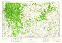
1954 · Santa Fe
USGS Topo · 1:250,000
1958 · Santa Fe
USGS Topo · 1:250,000
1963 · Mesa Cherisco
USGS Topo · 1:24,000
1963 · Mesita Del Gato
USGS Topo · 1:24,000
1964 · Neafus Ranch
USGS Topo · 1:24,000
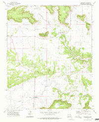
1972 · Variadero
USGS Topo · 1:24,000
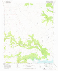
1972 · Four V Ranch
USGS Topo · 1:24,000
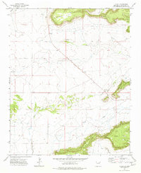
1972 · La Silla
USGS Topo · 1:24,000