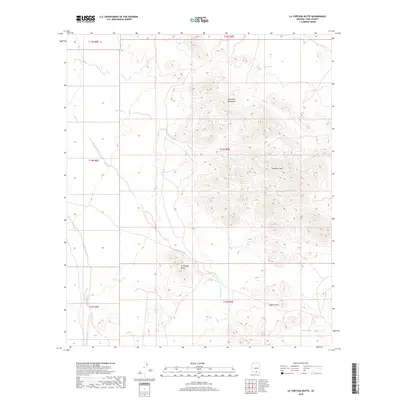
2018 Map of La Tortuga Butte
USGS Topo · Published 2018About this map
The Roskruge Mountains dominate this arid corridor in the Schuk Toak District, characterized by sharp peaks and a network of desert drainages. Rising from the bajada, Pescadero Mtn and La Tortuga Butte serve as prominent landmarks for navigation across the basin floor. The landscape is defined by its water management history, evidenced by isolated ranching or wildlife catchments such as Indio Tank, West Tank, and White Tank.
Find a feature on this map
16 named features on this map. Tap any name to fly to it.
Don’t see what you’re looking for? This feature index may not catch every label — zoom into the map to look around manually.
Map Details
Editions of this 2018 La Tortuga Butte Map
This is the sole edition of this map. No revisions or reprints were ever made.
Other maps of this area

1934 · Tucson Mountains
USGS Topo · 1:125,000

1934 · Silver Bell
USGS Topo · 1:125,000

1938 · San Vicente
USGS Topo · 1:62,500

1941 · San Vicente
USGS Topo · 1:62,500

1941 · Cocoraque Butte
USGS Topo · 1:62,500

1942 · San Vicente
USGS Topo · 1:62,500

1943 · Cocoraque Butte
USGS Topo · 1:62,500

1948 · San Vicente
USGS Topo · 1:62,500

1956 · Tucson
USGS Topo · 1:250,000

1958 · Tucson
USGS Topo · 1:250,000