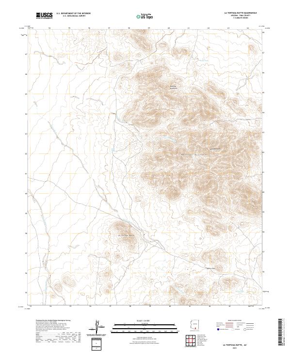
2021 Map of La Tortuga Butte
USGS Topo · Published 2021About this map
The Roskruge Mountains dominate this Pima County landscape, rising sharply above a network of desert drainage systems. The terrain is characterized by prominent peaks such as Pescadero Mtn and the namesake La Tortuga Butte, which serve as significant landmarks in this arid environment. The map details a complex system of ephemeral watercourses, including Pescadero Wash and Aguirre Wash, which channel seasonal runoff through the valley floors and pass through geographical bottlenecks like Aguirre Pass.
Find a feature on this map
16 named features on this map. Tap any name to fly to it.
Don’t see what you’re looking for? This feature index may not catch every label — zoom into the map to look around manually.
Map Details
Editions of this 2021 La Tortuga Butte Map
This is the sole edition of this map. No revisions or reprints were ever made.
Other maps of this area

1934 · Tucson Mountains
USGS Topo · 1:125,000

1934 · Silver Bell
USGS Topo · 1:125,000

1938 · San Vicente
USGS Topo · 1:62,500

1941 · San Vicente
USGS Topo · 1:62,500

1941 · Cocoraque Butte
USGS Topo · 1:62,500

1942 · San Vicente
USGS Topo · 1:62,500

1943 · Cocoraque Butte
USGS Topo · 1:62,500

1948 · San Vicente
USGS Topo · 1:62,500

1956 · Tucson
USGS Topo · 1:250,000

1958 · Tucson
USGS Topo · 1:250,000