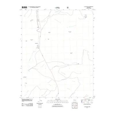
2011 Map of La Ventana
USGS Topo · Published 2011About this map
Rio Puerco and its intricate network of drainage arroyos define this section of Sandoval County, where industrial legacy is visible through a high concentration of mineral claims and coal operations. The small settlement of La Ventana sits as a central point for the surrounding extractive landscape, which includes the San Juan Mine, Rio Puerco Mine, and the Sandoval Coal Company Prospect. Prospectors and historians can trace the distribution of early 21st-century mining interest across the terrain, from the San Miguel Mines in the northeast to the Luciani Mines further west. Water sources like Thompson Spring and seasonal channels such as Arroyo de los Pinos and Rio Salado dictate the movement through this arid geography. The map also documents the remote transit corridors of the era, specifically Indian Service Route 94 and County Rd 11, which connect these isolated industrial sites.
Find a feature on this map
34 named features on this map. Tap any name to fly to it.
Don’t see what you’re looking for? This feature index may not catch every label — zoom into the map to look around manually.
Map Details
Editions of this 2011 La Ventana Map
This is the sole edition of this map. No revisions or reprints were ever made.
Other maps of this area

1883 · Mt. Taylor
USGS Topo · 1:250,000

1886 · Mt. Taylor
USGS Topo · 1:250,000

1890 · Jemes
USGS Topo · 1:125,000

1892 · Jemes
USGS Topo · 1:125,000

1892 · Mt. Taylor
USGS Topo · 1:250,000

1899 · Mt. Taylor
USGS Topo · 1:250,000

1939 · La Ventana
USGS Topo · 1:62,500

1939 · San Ysidro
USGS Topo · 1:62,500

1943 · San Ysidro
USGS Topo · 1:62,500

1943 · La Ventana
USGS Topo · 1:62,500