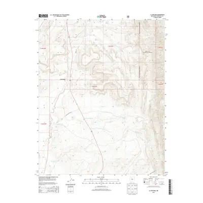
2013 Map of La Ventana
USGS Topo · Published 2013About this map
LaVentana and the surrounding high desert of Sandoval County are defined by a complex network of seasonal watercourses and administrative boundaries. The Rio Puerco serves as a primary drainage corridor, joined by numerous named arroyos including Arroyo Veguita-Blanca and Arroyo de los Pinos. To the east, the terrain rises into the Santa Fe National Forest, where the landscape transitions from the arid valley floor toward more elevated woodland.
Find a feature on this map
22 named features on this map. Tap any name to fly to it.
Don’t see what you’re looking for? This feature index may not catch every label — zoom into the map to look around manually.
Map Details
Editions of this 2013 La Ventana Map
This is the sole edition of this map. No revisions or reprints were ever made.
Other maps of this area

1883 · Mt. Taylor
USGS Topo · 1:250,000

1886 · Mt. Taylor
USGS Topo · 1:250,000

1890 · Jemes
USGS Topo · 1:125,000

1892 · Jemes
USGS Topo · 1:125,000

1892 · Mt. Taylor
USGS Topo · 1:250,000

1899 · Mt. Taylor
USGS Topo · 1:250,000

1939 · La Ventana
USGS Topo · 1:62,500

1939 · San Ysidro
USGS Topo · 1:62,500

1943 · San Ysidro
USGS Topo · 1:62,500

1943 · La Ventana
USGS Topo · 1:62,500