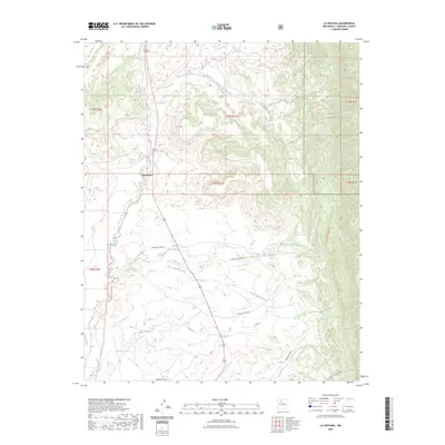
2023 Map of La Ventana
USGS Topo · Published 2023About this map
Rio Puerco and the Rio Salado anchor this high-desert landscape in Sandoval County, New Mexico. The small settlement of La Ventana sits at the intersection of local routes, serving as a gateway between the open arroyo-carved plains and the rising terrain of the Santa Fe National Forest to the east. The map detail highlights an intricate network of drainage systems, including Arroyo de los Pinos and Arroyo Veguita Blanca, which define the topography and historical travel corridors of the region.
Find a feature on this map
25 named features on this map. Tap any name to fly to it.
Don’t see what you’re looking for? This feature index may not catch every label — zoom into the map to look around manually.
Map Details
Editions of this 2023 La Ventana Map
This is the sole edition of this map. No revisions or reprints were ever made.
Other maps of this area

1883 · Mt. Taylor
USGS Topo · 1:250,000

1886 · Mt. Taylor
USGS Topo · 1:250,000

1890 · Jemes
USGS Topo · 1:125,000

1892 · Jemes
USGS Topo · 1:125,000

1892 · Mt. Taylor
USGS Topo · 1:250,000

1899 · Mt. Taylor
USGS Topo · 1:250,000

1939 · La Ventana
USGS Topo · 1:62,500

1939 · San Ysidro
USGS Topo · 1:62,500

1943 · San Ysidro
USGS Topo · 1:62,500

1943 · La Ventana
USGS Topo · 1:62,500