Loading...
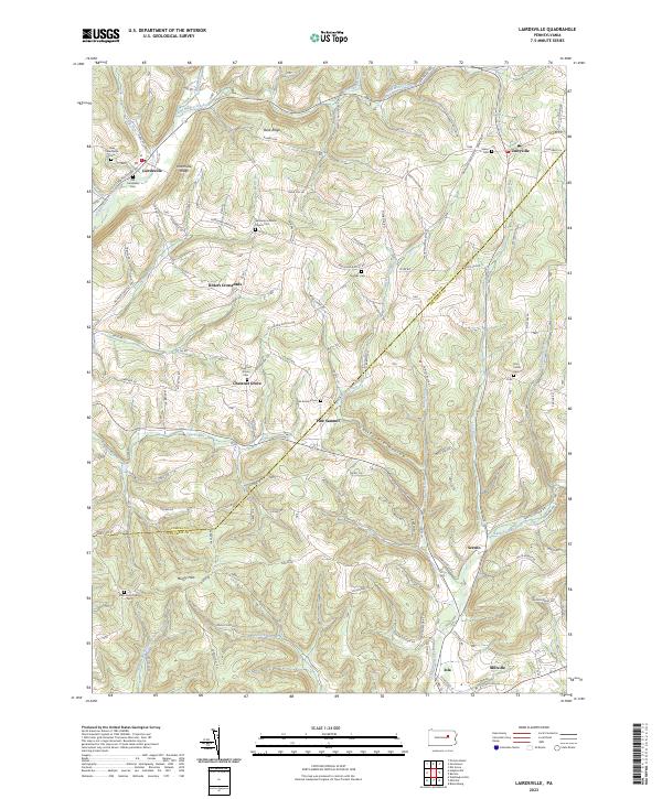
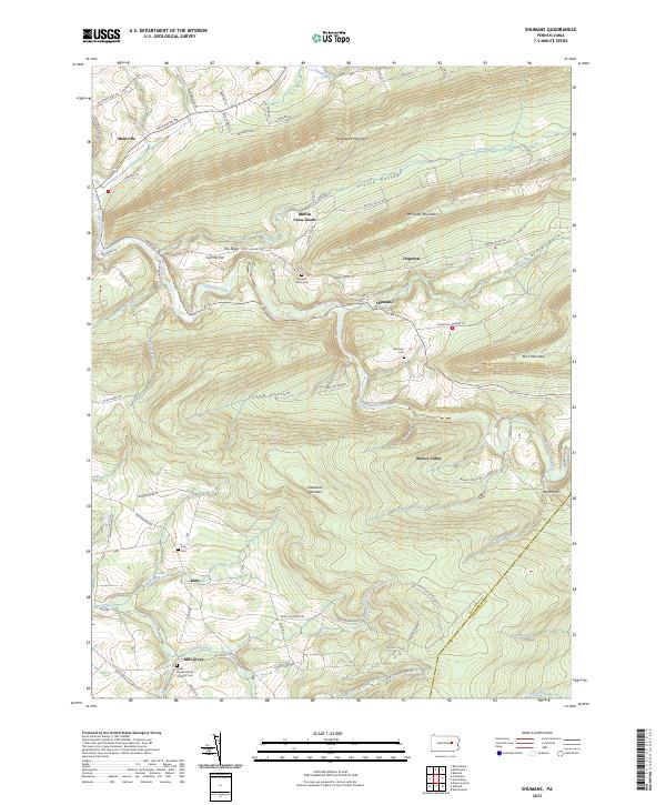
Loading map...2023 Map of Lairdsville
USGS Topo · Published 2023About this map
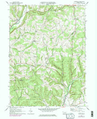
Lairdsville and the surrounding borderlands of Lycoming and Columbia counties are defined by a network of creeks and ridges. The topography is shaped by the Muncy Hills and Northside Ridge, with the winding Little Muncy Creek cutting through the northern reaches. This landscape is dotted with small, long-established settlements such as Unityville, Sereno, and Iola, each connected by a system of country roads like White Horse Pike and Airport Rd.
Find a feature on this map
42 named features on this map. Tap any name to fly to it.
Don’t see what you’re looking for? This feature index may not catch every label — zoom into the map to look around manually.
Map Details
Date Portrayed2023
Date Published2023
PublisherU.S. Geological Survey
Map TypeTopographic
Scale1:24000
Physical Dimensions24 x 29 inches
Editions of this 2023 Lairdsville Map
This is the sole edition of this map. No revisions or reprints were ever made.
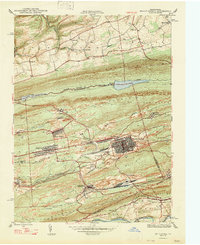
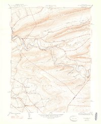
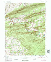
Historical Maps of Madison Township Through Time
6 maps found
Featured Locations
- Greenwood Township, PA
- Madison Township, PA
- Jordan Township, PA
- Franklin Township, PA
- Moreland Township, PA
Source Details
SourceU.S. Geological Survey
CopyrightPublic Domain