1955 Map of Shumans
USGS Topo · Published 1989About this map
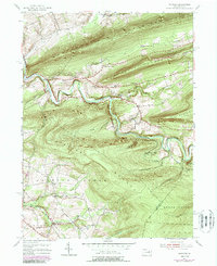
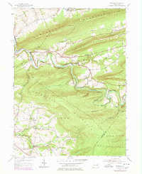
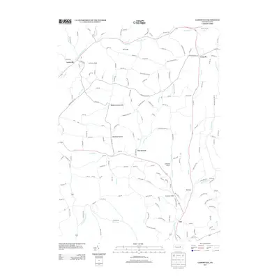
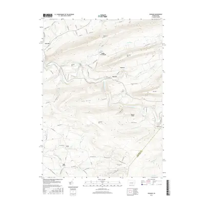
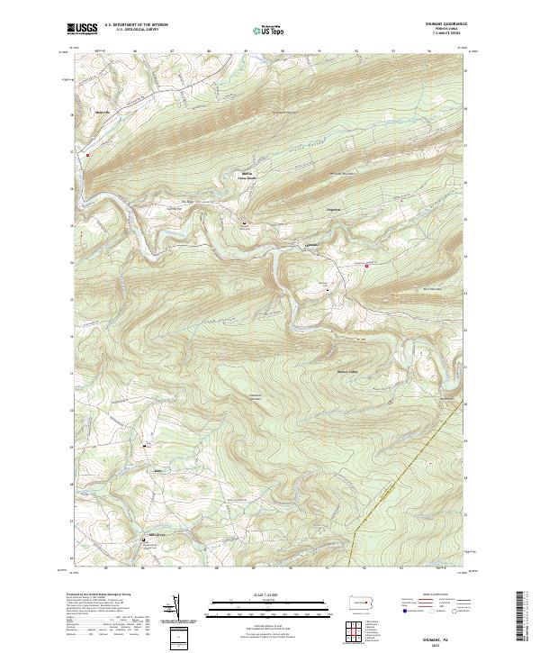
Catawissa Creek carves a winding path through the heart of this landscape, separating the high ridges of Nescopeck Mountain and McCauley Mountain from the southern heights of Roaring Creek Mountain. This 1955 survey, with revisions through the 1970s, reveals a rural economy shaped by difficult topography, where small settlements like Shumans and Mainville sit at the feet of massive hills. The land is marked by its industrial and social infrastructure, from the Scotch Valley Grade to the isolated Beaver Sch and the hilltop Kulp Ch.
Find a feature on this map
35 named features on this map. Tap any name to fly to it.
Don’t see what you’re looking for? This feature index may not catch every label — zoom into the map to look around manually.
Map Details
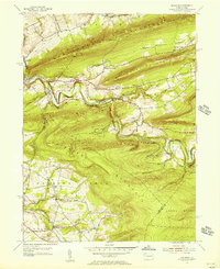
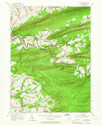
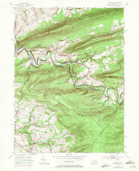
Editions of this 1955 Shumans Map
5 editions found
Historical Maps of North Union Township Through Time
14 maps found
1947 Mt. Carmel
Columbia County, PA
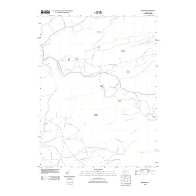
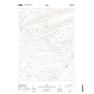
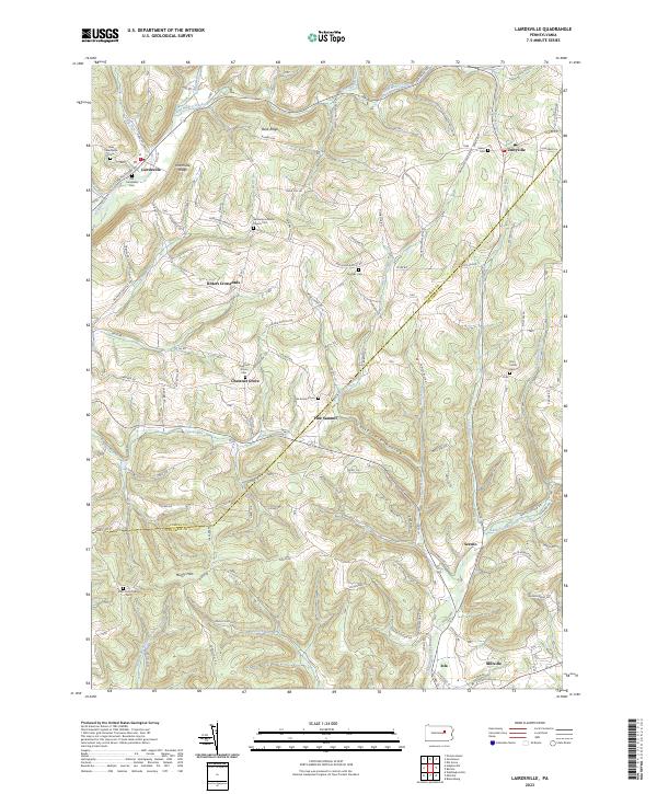
1948 Shumans
Columbia County, PA
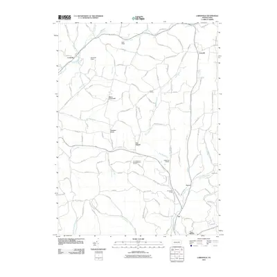
1955 Shumans
Columbia County, PA
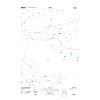
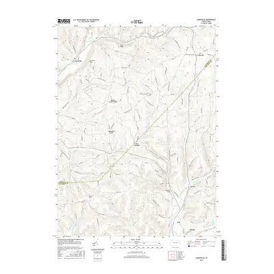
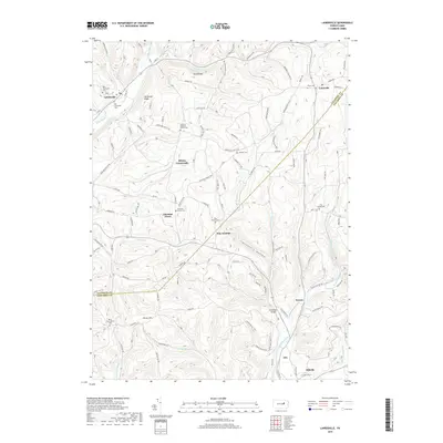
1968 Lairdsville
Columbia County, PA
2010 Lairdsville
Columbia County, PA
2010 Shumans
Columbia County, PA
2013 Lairdsville
Columbia County, PA
2013 Shumans
Columbia County, PA
2016 Lairdsville
Columbia County, PA
2016 Shumans
Columbia County, PA
2019 Lairdsville
Columbia County, PA
2019 Shumans
Columbia County, PA
2023 Lairdsville
Columbia County, PA
2023 Shumans
Columbia County, PA
Featured Locations
- North Union Township, PA
- Roaring Creek Township, PA
- Beaver Township, PA
- Locust Township, PA
- Main Township, PA