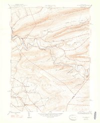
1948 Map of Shumans
USGS Topo · Published 1948About this map
Catawissa Creek meanders through a valley defined by the high ridges of Nescopeck Mountain and McCauley Mountain in this 1948 edition. The landscape is marked by small settlements and rural infrastructure, where the Reading railroad follows the contours of the creek to serve local outposts like Shumans and Mainville. In the southern portion of the map, the community of Kulp and the Roaring Creek Ch sit near the banks of Roaring Creek, reflecting the established farm and church life typical of this part of Columbia County.
Find a feature on this map
30 named features on this map. Tap any name to fly to it.
Don’t see what you’re looking for? This feature index may not catch every label — zoom into the map to look around manually.
Map Details
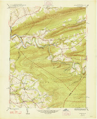
Editions of this 1948 Shumans Map
2 editions found
Other maps of this area

1889 · Catawissa
USGS Topo · 1:62,500

1892 · Catawissa
USGS Topo · 1:62,500

1892 · Mahanoy
USGS Topo · 1:62,500

1893 · Mahanoy
USGS Topo · 1:62,500

1894 · Catawissa
USGS Topo · 1:62,500

1894 · Shickshinny
USGS Topo · 1:62,500

1894 · Bloomsburg
USGS Topo · 1:62,500

1946 · Berwick
USGS Topo · 1:31,680

1947 · Bloomsburg
USGS Topo · 1:24,000

1947 · Ashland
USGS Topo · 1:24,000
Featured Places
- North Union Township, PA
- Beaver Township, PA
- Locust Township, PA
- Main Township, PA
- Roaring Creek Township, PA