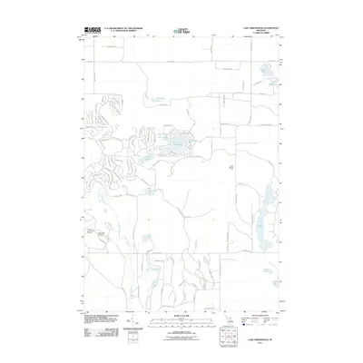
2011 Map of Lake Arrowhead
USGS Topo · Published 2011About this map
Lake Arrowhead serves as the centerpiece of this northern Michigan landscape, surrounded by a dense network of residential streets and community amenities. The area is characterized by a high concentration of water bodies, including the uniquely named Lake Washwomen and the elongated Lake Tecon. To the west, the Manistee River meanders southward, fed by small tributaries like Frenchman Creek near Deer Lake.
Find a feature on this map
112 named features on this map. Tap any name to fly to it.
Don’t see what you’re looking for? This feature index may not catch every label — zoom into the map to look around manually.
Map Details
Editions of this 2011 Lake Arrowhead Map
This is the sole edition of this map. No revisions or reprints were ever made.
Other maps of this area

1949 · Otsego Lake
USGS Topo · 1:62,500

1951 · Big Bradford Lake
USGS Topo · 1:24,000

1951 · Otsego Lake
USGS Topo · 1:24,000

1954 · Gaylord
USGS Topo · 1:62,500

1954 · Traverse City
USGS Topo · 1:250,000

1955 · Cheboygan
USGS Topo · 1:250,000

1956 · Alba
USGS Topo · 1:62,500

1958 · Cheboygan
USGS Topo · 1:250,000

1958 · Traverse City
USGS Topo · 1:250,000

1961 · Boyne Falls
USGS Topo · 1:62,500