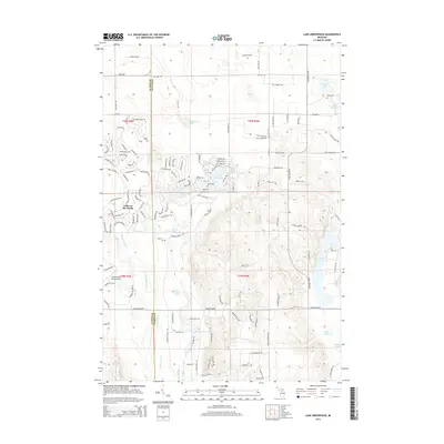
2014 Map of Lake Arrowhead
USGS Topo · Published 2014About this map
Lakes of the North anchors this modern survey of the high plateau country where the Antrim and Otsego county lines meet. The landscape is defined by a dense concentration of glacial kettle lakes and resort-style development, notably the recreational community around Lake Arrowhead and the adjacent Lakes of the North Airport. The upper reaches of the Manistee River carve through the southwestern portion of the sheet, providing a stark contrast to the closed-basin lakes like Thomas Lake, Deer Lake, and the small Lake Wequos to the northeast.
Find a feature on this map
137 named features on this map. Tap any name to fly to it.
Don’t see what you’re looking for? This feature index may not catch every label — zoom into the map to look around manually.
Map Details
Editions of this 2014 Lake Arrowhead Map
This is the sole edition of this map. No revisions or reprints were ever made.
Other maps of this area

1949 · Otsego Lake
USGS Topo · 1:62,500

1951 · Big Bradford Lake
USGS Topo · 1:24,000

1951 · Otsego Lake
USGS Topo · 1:24,000

1954 · Gaylord
USGS Topo · 1:62,500

1954 · Traverse City
USGS Topo · 1:250,000

1955 · Cheboygan
USGS Topo · 1:250,000

1956 · Alba
USGS Topo · 1:62,500

1958 · Cheboygan
USGS Topo · 1:250,000

1958 · Traverse City
USGS Topo · 1:250,000

1961 · Boyne Falls
USGS Topo · 1:62,500