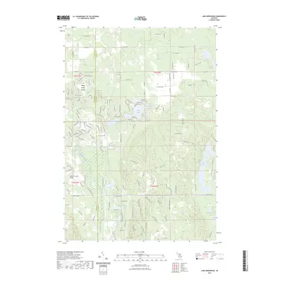
2023 Map of Lake Arrowhead
USGS Topo · Published 2023About this map
Lakes of the North defines the western portion of this landscape, situated along the border of Antrim and Otsego counties. The area is characterized by a dense network of residential roads such as Alpine Valley Dr and Snowridge Trl, supporting a recreational and residential community centered around the Lakes of the North Airport. This modern development contrasts with the wilder, wooded terrain to the east, where the headwaters and tributaries of the Manistee River carve through the glacial topography.
Find a feature on this map
148 named features on this map. Tap any name to fly to it.
Don’t see what you’re looking for? This feature index may not catch every label — zoom into the map to look around manually.
Map Details
Editions of this 2023 Lake Arrowhead Map
This is the sole edition of this map. No revisions or reprints were ever made.
Other maps of this area

1949 · Otsego Lake
USGS Topo · 1:62,500

1951 · Big Bradford Lake
USGS Topo · 1:24,000

1951 · Otsego Lake
USGS Topo · 1:24,000

1954 · Gaylord
USGS Topo · 1:62,500

1954 · Traverse City
USGS Topo · 1:250,000

1955 · Cheboygan
USGS Topo · 1:250,000

1956 · Alba
USGS Topo · 1:62,500

1958 · Cheboygan
USGS Topo · 1:250,000

1958 · Traverse City
USGS Topo · 1:250,000

1961 · Boyne Falls
USGS Topo · 1:62,500