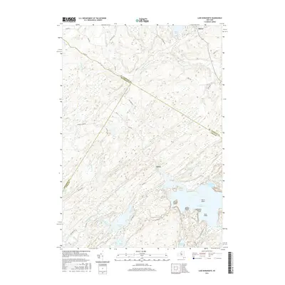
2016 Map of Lake Bonaparte
USGS Topo · Published 2016About this map
Lake Bonaparte dominates the southeastern quadrant of this North Country landscape, its shoreline defined by Hitchcock Bay and Bentons Point. The area is characterized by a complex network of wetlands and small water bodies, including Abbots Swamp and Mud Lake. The small settlements of Balmat in the north and Alpina near the center serve as primary anchor points for a region crisscrossed by early transportation routes such as Russell Tpke and Fusa Blvd.
Find a feature on this map
51 named features on this map. Tap any name to fly to it.
Don’t see what you’re looking for? This feature index may not catch every label — zoom into the map to look around manually.
Map Details
Editions of this 2016 Lake Bonaparte Map
This is the sole edition of this map. No revisions or reprints were ever made.
Other maps of this area

1911 · Antwerp
USGS Topo · 1:62,500

1912 · Hammond
USGS Topo · 1:62,500

1913 · Lake Bonaparte
USGS Topo · 1:62,500

1915 · Gouverneur
USGS Topo · 1:62,500

1916 · Lake Bonaparte
USGS Topo · 1:62,500

1937 · Gouverneur
USGS Topo · 1:62,500

1944 · Hammond
USGS Topo · 1:62,500

1948 · Ogdensburg
USGS Topo · 1:250,000

1949 · Hammond
USGS Topo · 1:62,500

1949 · Antwerp
USGS Topo · 1:62,500