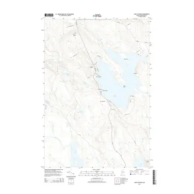
2014 Map of Lake Cathance
USGS Topo · Published 2014About this map
Lake Cathance dominates this corner of Washington County, its intricate shoreline defined by Birch Point, Murphy Point, and Provost Point. The settlement of Cooper sits at the intersection of the Cooper Hwy and Chub Cove Rd, positioned below the high ground of Cooper Hill. This landscape is characterized by an extensive network of waterways and glacial features, where Richardson Brook and Mill Stream feed into a chain of lakes and inlets.
Find a feature on this map
52 named features on this map. Tap any name to fly to it.
Don’t see what you’re looking for? This feature index may not catch every label — zoom into the map to look around manually.
Map Details
Editions of this 2014 Lake Cathance Map
This is the sole edition of this map. No revisions or reprints were ever made.
Other maps of this area

1929 · Calais
USGS Topo · 1:48,000

1932 · Calais
USGS Topo · 1:62,500

1941 · Wesley
USGS Topo · 1:62,500

1941 · Gardner Lake
USGS Topo · 1:62,500

1941 · Big Lake
USGS Topo · 1:62,500

1943 · Big Lake
USGS Topo · 1:62,500

1943 · Wesley
USGS Topo · 1:62,500

1943 · Gardner Lake
USGS Topo · 1:62,500

1952 · Big Lake
USGS Topo · 1:50,000

1957 · Fredericton
USGS Topo · 1:250,000