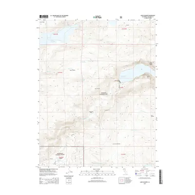
2015 Map of Lake Eleanor
USGS Topo · Published 2015About this map
Yosemite National Park dominates this 2015 survey, centered on the massive Hetch Hetchy Reservoir and the surrounding wilderness of the Sierra Nevada. The map details the dramatic canyon topography where the Tuolumne River is impounded, flanked by iconic granite features like Kolana Rock and Hetch Hetchy Dome. To the northwest, Lake Eleanor sits near Kibbie Ridge, marking another significant water storage feature in this high-altitude drainage system.
Find a feature on this map
36 named features on this map. Tap any name to fly to it.
Don’t see what you’re looking for? This feature index may not catch every label — zoom into the map to look around manually.
Map Details
Editions of this 2015 Lake Eleanor Map
This is the sole edition of this map. No revisions or reprints were ever made.
Other maps of this area

1896 · Dardanelles
USGS Topo · 1:125,000

1897 · Yosemite
USGS Topo · 1:125,000

1898 · Dardanelles
USGS Topo · 1:125,000

1900 · Yosemite
USGS Topo · 1:125,000

1903 · Yosemite
USGS Topo · 1:125,000

1909 · Yosemite
USGS Topo · 1:125,000

1947 · Mariposa
USGS Topo · 1:250,000

1948 · Walker Lake
USGS Topo · 1:250,000

1948 · Mariposa
USGS Topo · 1:250,000

1956 · Pinecrest
USGS Topo · 1:62,500