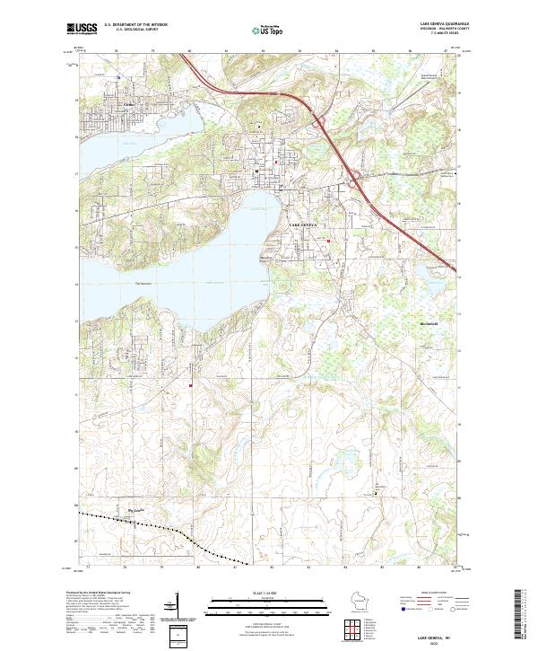
2022 Map of Lake Geneva
USGS Topo · Published 2022About this map
Lake Geneva serves as the central focal point of this Walworth County landscape, revealing the dense shoreline development and residential patterns that have long defined this recreation-centered region. The map documents the intricate network of landings and bays, including Buttons Bay and Geneva Bay, which transition into the narrower western stretch known as The Narrows. North of the main lake, the smaller Lake Como is bordered by the community of Como, showing a distinct grid of residential roads like Acacia Rd and Sycamore Rd that reflect the area's mid-century growth.
Find a feature on this map
165 named features on this map. Tap any name to fly to it.
Don’t see what you’re looking for? This feature index may not catch every label — zoom into the map to look around manually.
Map Details
Editions of this 2022 Lake Geneva Map
This is the sole edition of this map. No revisions or reprints were ever made.
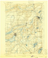
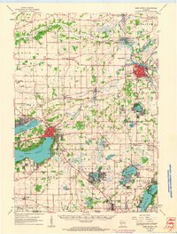
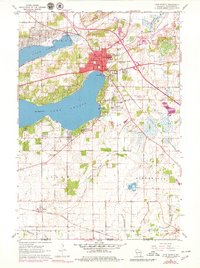
Historical Maps of Bloomfield Through Time
6 maps found