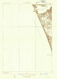
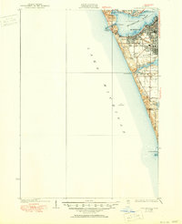
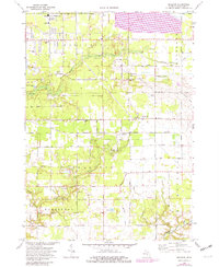
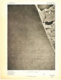
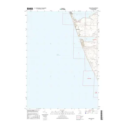
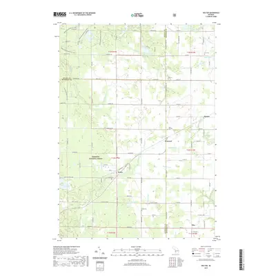
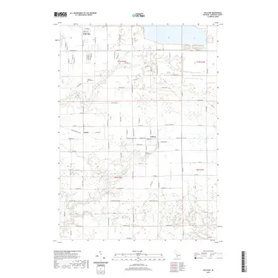
1930 Map of Lake Harbor
USGS Topo · Published 1930About this map
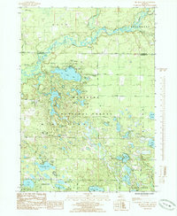
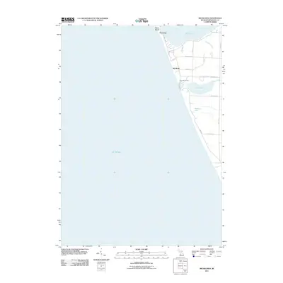
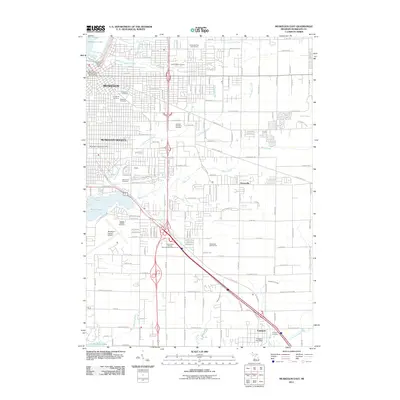
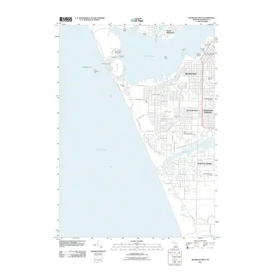
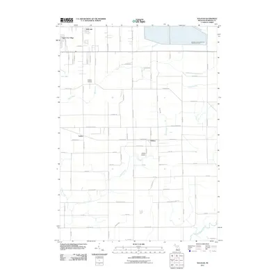
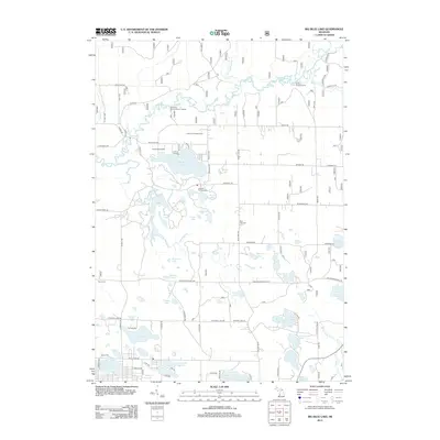
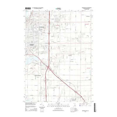
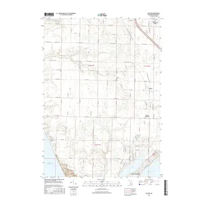
Muskegon and its industrial waterfront dominate this 1930 survey of the eastern Lake Michigan shoreline. The map documents a complex urban and recreational landscape just before the full maturation of the Great Lakes shipping economy. To the north, Muskegon Lake is ringed by established neighborhoods like North Muskegon and the planned resort feel of Interlaken. Further south, the map reveals the transition from the city's dense grid in Muskegon Heights to the more rural character of the Muskegon County and Ottawa County border. Local landmarks such as the Float Bridge over Mona Lake and the coastal dunes at Pigeon Hill highlight the era's physical geography. This sheet is particularly valuable for genealogists tracing families in smaller lakeside pockets like Port Sherman or those attending Maple Grove Sch, providing a precise look at the road network including Scenic Drive before mid-century development.
Find a feature on this map
25 named features on this map. Tap any name to fly to it.
Don’t see what you’re looking for? This feature index may not catch every label — zoom into the map to look around manually.
Map Details
Editions of this 1930 Lake Harbor Map
This is the sole edition of this map. No revisions or reprints were ever made.
Historical Maps of Muskegon Through Time
63 maps found
1930 Lake Harbor
Muskegon County, MI
1936 Lake Harbor
Muskegon County, MI
1972 Muskegon East
Muskegon County, MI
1972 Muskegon West
Muskegon County, MI
1972 Sullivan
Muskegon County, MI
1976 Montague NE
Muskegon County, MI
1976 Montague NW
Muskegon County, MI
1976 Montague SE
Muskegon County, MI
1976 Montague SW
Muskegon County, MI

1976 Twin Lake NE
Muskegon County, MI

1976 Twin Lake NW
Muskegon County, MI

1976 Twin Lake SE
Muskegon County, MI

1976 Twin Lake SW
Muskegon County, MI
1983 Dalton
Muskegon County, MI
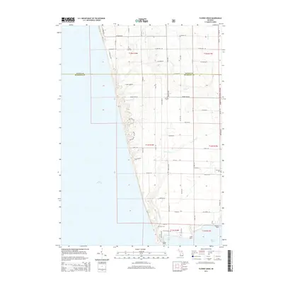
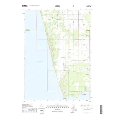
1983 Flower Creek
Muskegon County, MI
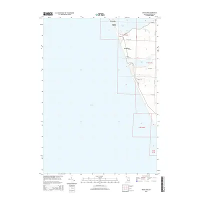
1983 Michillinda
Muskegon County, MI
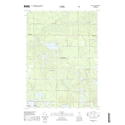
1985 Big Blue Lake
Muskegon County, MI

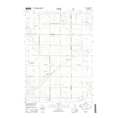
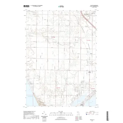
1985 Holton
Muskegon County, MI
2011 Dalton
Muskegon County, MI
2011 Flower Creek
Muskegon County, MI
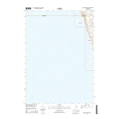
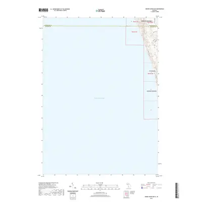
2011 Grand Haven OE W
Muskegon County, MI
2011 Michillinda
Muskegon County, MI
2011 Muskegon East
Muskegon County, MI
2011 Muskegon West
Muskegon County, MI
2011 Sullivan
Muskegon County, MI
2012 Big Blue Lake
Muskegon County, MI
2012 Holton
Muskegon County, MI
2014 Big Blue Lake
Muskegon County, MI
2014 Dalton
Muskegon County, MI
2014 Flower Creek
Muskegon County, MI
2014 Grand Haven OE W
Muskegon County, MI
2014 Holton
Muskegon County, MI
2014 Michillinda
Muskegon County, MI
2014 Muskegon East
Muskegon County, MI
2014 Muskegon West
Muskegon County, MI
2014 Sullivan
Muskegon County, MI
2017 Big Blue Lake
Muskegon County, MI
2017 Dalton
Muskegon County, MI
2017 Flower Creek
Muskegon County, MI
2017 Grand Haven OE W
Muskegon County, MI
2017 Holton
Muskegon County, MI
2017 Michillinda
Muskegon County, MI
2017 Muskegon East
Muskegon County, MI
2017 Muskegon West
Muskegon County, MI
2017 Sullivan
Muskegon County, MI
2019 Big Blue Lake
Muskegon County, MI
2019 Dalton
Muskegon County, MI
2019 Flower Creek
Muskegon County, MI
2019 Grand Haven OE W
Muskegon County, MI
2019 Holton
Muskegon County, MI
2019 Michillinda
Muskegon County, MI
2019 Muskegon East
Muskegon County, MI
2019 Muskegon West
Muskegon County, MI
2019 Sullivan
Muskegon County, MI
2023 Big Blue Lake
Muskegon County, MI
2023 Dalton
Muskegon County, MI
2023 Flower Creek
Muskegon County, MI
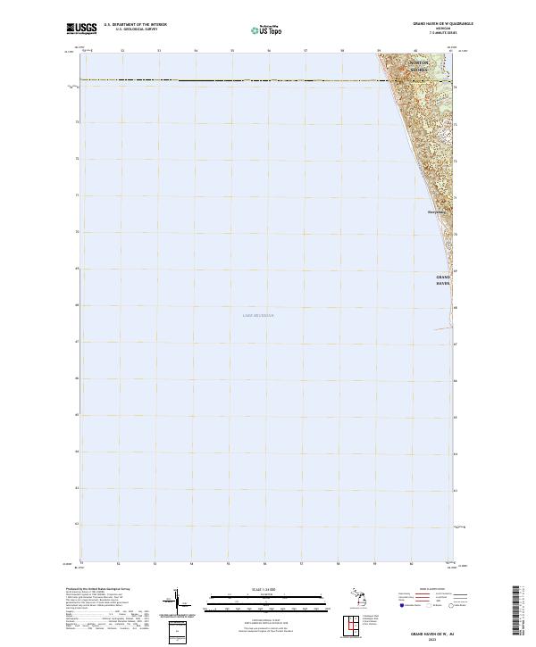
2023 Grand Haven OE W
Muskegon County, MI
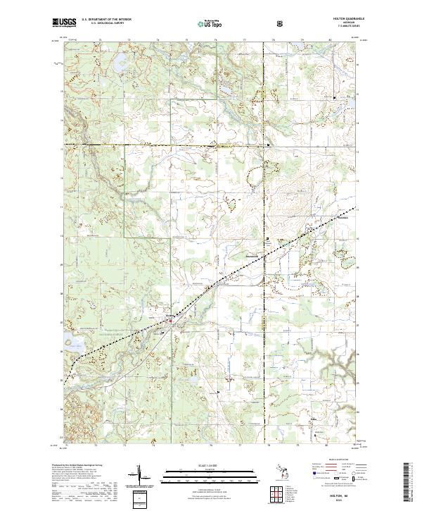
2023 Holton
Muskegon County, MI
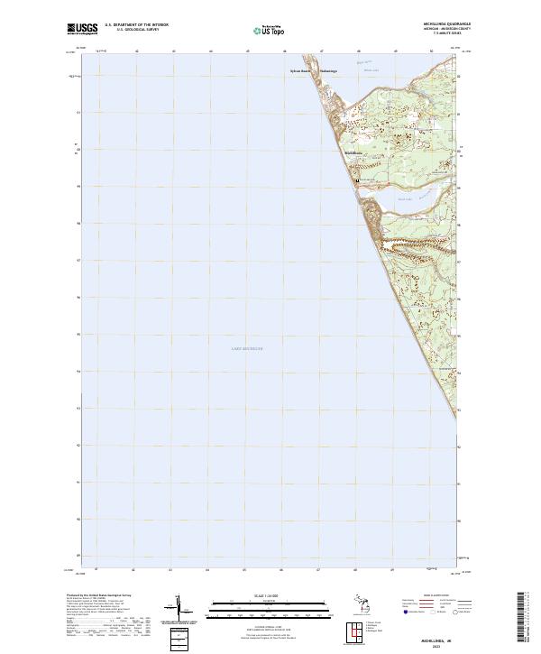
2023 Michillinda
Muskegon County, MI
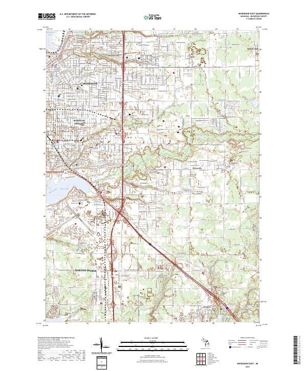
2023 Muskegon East
Muskegon County, MI
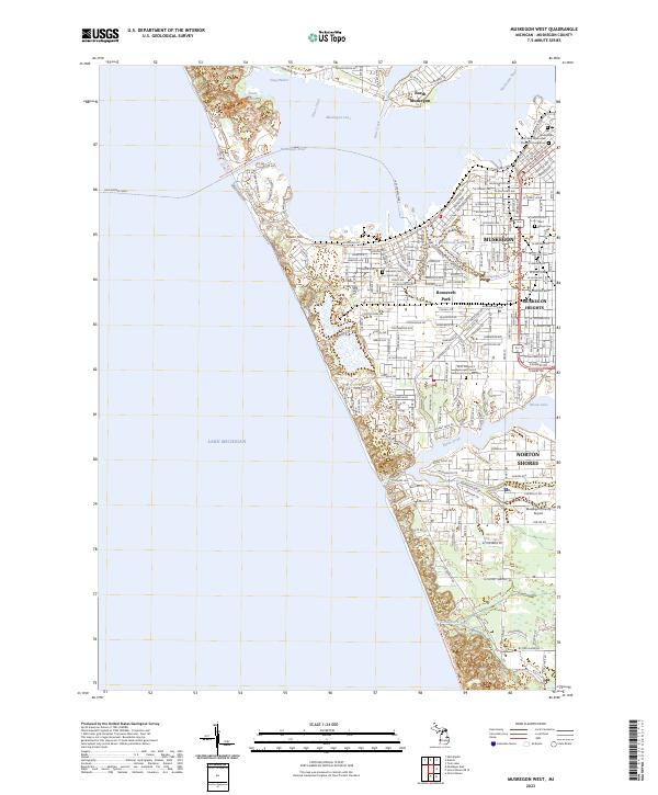
2023 Muskegon West
Muskegon County, MI
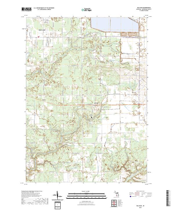
2023 Sullivan
Muskegon County, MI