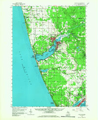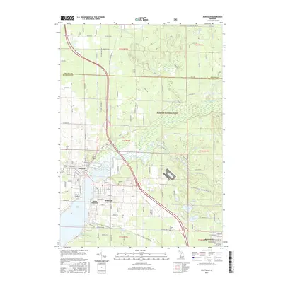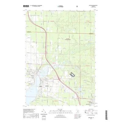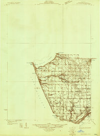
1929 Map of Montague
USGS Topo · Published 1929About this map
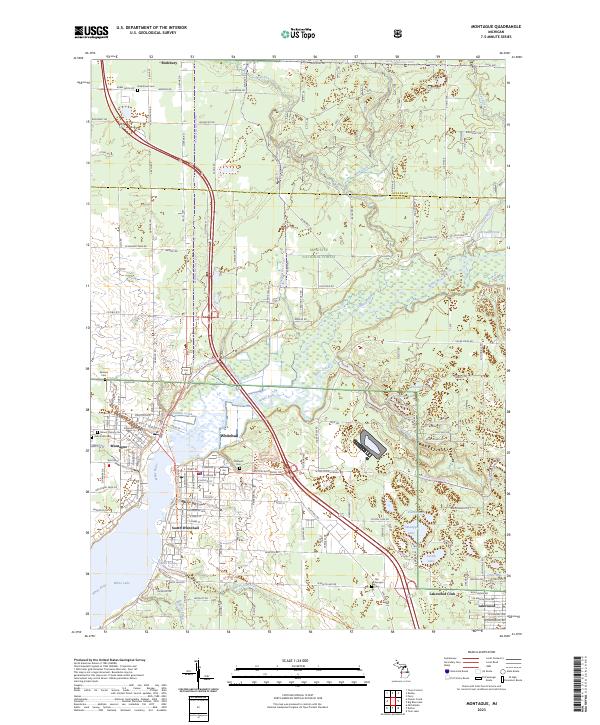
White River Light stands at the narrow channel where White Lake meets Lake Michigan, anchoring a coastline defined by summer resorts and quiet lakeside communities. In the late 1920s, the western shore was a hub of recreation and seasonal residency, featuring the White Lake Golf and Yacht Club alongside the settlements of Wabaningo, Sylvan Beach, and Michillinda. Inland, the townships of Fruitland and Laketon reveal a different character, organized around small rural institutions like the Swedish Mission and numerous one-room schoolhouses such as Collins Sch and Gordon Sch.
Find a feature on this map
38 named features on this map. Tap any name to fly to it.
Don’t see what you’re looking for? This feature index may not catch every label — zoom into the map to look around manually.
Map Details
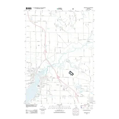
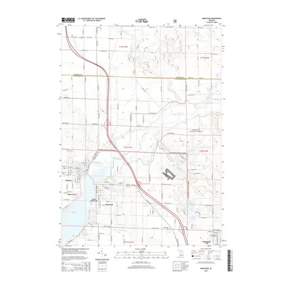
Editions of this 1929 Montague Map
This is the sole edition of this map. No revisions or reprints were ever made.
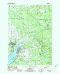
Historical Maps of Muskegon Through Time
8 maps found