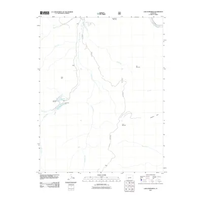
2011 Map of Lake Humphreys
USGS Topo · Published 2011About this map
Lake Humphreys and its primary infrastructure, Humphreys Dam, anchor this high-altitude landscape in the Colorado mountains. The area is defined by a series of steep drainages, including the prominent Goose Creek and Leopard Creek corridors, which flow through territory marked by significant peaks such as Turret Peak and McClelland Mountain. The inclusion of Hay Press Lake and its corresponding Hay Press Park Dam illustrates the historical and modern management of water resources in this portion of the San Juan Mountains, where high-country parks often served as critical reservoirs.
Find a feature on this map
25 named features on this map. Tap any name to fly to it.
Don’t see what you’re looking for? This feature index may not catch every label — zoom into the map to look around manually.
Map Details
Editions of this 2011 Lake Humphreys Map
This is the sole edition of this map. No revisions or reprints were ever made.
Other maps of this area

1914 · Creede
USGS Topo · 1:125,000

1916 · Creede
USGS Topo · 1:125,000

1945 · Durango
USGS Topo · 1:250,000

1953 · Durango
USGS Topo · 1:250,000

1954 · Durango
USGS Topo · 1:250,000

1957 · Spar City
USGS Topo · 1:62,500

1959 · Creede
USGS Topo · 1:62,500

1961 · Durango
USGS Topo · 1:250,000

1963 · Durango
USGS Topo · 1:250,000

1966 · Durango
USGS Topo · 1:250,000