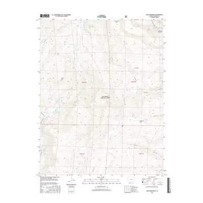
2016 Map of Lake Humphreys
USGS Topo · Published 2016About this map
Lake Humphreys and the Rio Grande river system dominate this high-altitude landscape within the Rio Grande National Forest. The map shows a complex network of geological formations and water sources, including the thermal features of the Wagon Wheel Gap Hot Springs and Wagon Wheel Springs. This era of documentation reveals how wilderness access is structured by a series of named trails that bridge the divide between peaks and basins.
Find a feature on this map
30 named features on this map. Tap any name to fly to it.
Don’t see what you’re looking for? This feature index may not catch every label — zoom into the map to look around manually.
Map Details
Editions of this 2016 Lake Humphreys Map
This is the sole edition of this map. No revisions or reprints were ever made.
Other maps of this area

1914 · Creede
USGS Topo · 1:125,000

1916 · Creede
USGS Topo · 1:125,000

1945 · Durango
USGS Topo · 1:250,000

1953 · Durango
USGS Topo · 1:250,000

1954 · Durango
USGS Topo · 1:250,000

1957 · Spar City
USGS Topo · 1:62,500

1959 · Creede
USGS Topo · 1:62,500

1961 · Durango
USGS Topo · 1:250,000

1963 · Durango
USGS Topo · 1:250,000

1966 · Durango
USGS Topo · 1:250,000