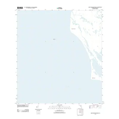
2012 Map of Lake Ingraham West
USGS Topo · Published 2012About this map
Northwest Cape and Middle Cape anchor this coastal survey, where the terrestrial environment of the Florida Everglades meets the open waters of the Gulf of Mexico. The land is defined by a delicate network of tidal influence and wetlands, notably seen in the large coastal basin of Lake Ingraham. These features represent a shifting subtropical landscape where tidal flows through Little Sable Creek shape the shoreline. To the north of the lake, Raulerson Prairie suggests the grassy, low-lying marshes that dominate this portion of Monroe County. Offshore, the navigational marker Northwest Cape Light 4 sits in the Gulf, serving as a vital point of reference for maritime activity along this otherwise low-lying and undeveloped coastline.
Find a feature on this map
7 named features on this map. Tap any name to fly to it.
Don’t see what you’re looking for? This feature index may not catch every label — zoom into the map to look around manually.
Map Details
Editions of this 2012 Lake Ingraham West Map
This is the sole edition of this map. No revisions or reprints were ever made.
Other maps of this area

1956 · Miami
USGS Topo · 1:250,000

1958 · Miami
USGS Topo · 1:250,000

1972 · Whitewater Bay West
USGS Topo · 1:24,000

1972 · Lake Ingraham East
USGS Topo · 1:24,000
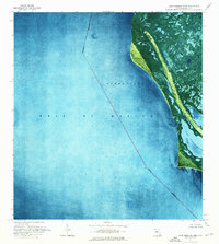
1972 · Lake Ingraham West
USGS Topo · 1:24,000

1972 · Sandy Key
USGS Topo · 1:24,000

1972 · Shark River Island
USGS Topo · 1:24,000

1981 · Cape Sable
USGS Topo · 1:100,000

1988 · Miami
USGS Topo · 1:250,000
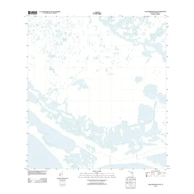
2012 · Lake Ingraham East
USGS Topo · 1:24,000