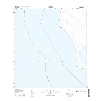
2015 Map of Lake Ingraham West
USGS Topo · Published 2015About this map
Everglades National Park encompasses the transition from land to sea along this southwestern Florida coastline, where the Gulf of Mexico meets the expansive Cape Sable. The landscape is dominated by tidal influences and coastal prairies, most notably Raulerson Prairie and the large water body of Lake Ingraham. Geographic markers like Northwest Cape and Middle Cape define the westward reach of the peninsula, providing critical reference points in a region of shifting sediment and mangrove-lined waterways. Little Sable Creek provides one of the few named drainage features in this environment, illustrating the complex hydrology of the southwestern tip of Monroe County. This 2015 data reflects the modern conservation boundaries of the park and the natural state of its coastal capes.
Find a feature on this map
9 named features on this map. Tap any name to fly to it.
Don’t see what you’re looking for? This feature index may not catch every label — zoom into the map to look around manually.
Map Details
Editions of this 2015 Lake Ingraham West Map
This is the sole edition of this map. No revisions or reprints were ever made.
Other maps of this area

1956 · Miami
USGS Topo · 1:250,000

1958 · Miami
USGS Topo · 1:250,000

1972 · Whitewater Bay West
USGS Topo · 1:24,000

1972 · Lake Ingraham East
USGS Topo · 1:24,000
1972 · Lake Ingraham West
USGS Topo · 1:24,000

1972 · Sandy Key
USGS Topo · 1:24,000

1972 · Shark River Island
USGS Topo · 1:24,000

1981 · Cape Sable
USGS Topo · 1:100,000

1988 · Miami
USGS Topo · 1:250,000
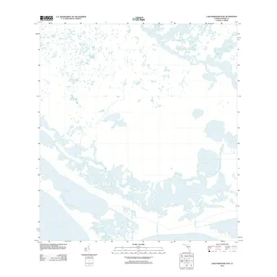
2012 · Lake Ingraham East
USGS Topo · 1:24,000