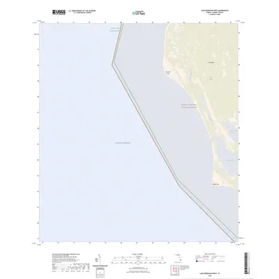
2024 Map of Lake Ingraham West
USGS Topo · Published 2024About this map
Marjory Stoneman Douglas Wilderness preserves this remote coastal interface where the southwestern tip of the Florida peninsula meets the Gulf of Mexico. The landscape is dominated by the expansive Cape Sable region, a low-lying reach of The Everglades defined by mangrove systems and coastal prairies. This 2024 map documents the current state of sensitive coastal features like Northwest Cape and Middle Cape, which are vulnerable to shifting tides and rising seas. Inland, the map traces the winding course of Little Sable Creek as it connects the shoreline to internal wetlands and Raulerson Prairie. The inclusion of Lake Ingraham highlights the complex hydrologic network protected within the Everglades National Park, showing a coastline largely untouched by modern development.
Find a feature on this map
10 named features on this map. Tap any name to fly to it.
Don’t see what you’re looking for? This feature index may not catch every label — zoom into the map to look around manually.
Map Details
Editions of this 2024 Lake Ingraham West Map
This is the sole edition of this map. No revisions or reprints were ever made.
Other maps of this area

1956 · Miami
USGS Topo · 1:250,000

1958 · Miami
USGS Topo · 1:250,000

1972 · Whitewater Bay West
USGS Topo · 1:24,000

1972 · Lake Ingraham East
USGS Topo · 1:24,000
1972 · Lake Ingraham West
USGS Topo · 1:24,000

1972 · Sandy Key
USGS Topo · 1:24,000

1972 · Shark River Island
USGS Topo · 1:24,000

1981 · Cape Sable
USGS Topo · 1:100,000

1988 · Miami
USGS Topo · 1:250,000
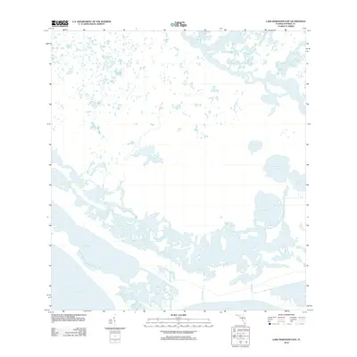
2012 · Lake Ingraham East
USGS Topo · 1:24,000