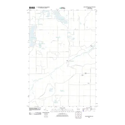
2010 Map of Lake Minnesuing
USGS Topo · Published 2010About this map
Lake Nebagamon and Lake Minnesuing anchor this northern Wisconsin landscape, where the dense hydrology of Douglas County defines the local geography. The winding Bois Brule River flows through the central portion of the map, carving notable features like Rainbow Bend and providing access points such as Stones Bridge Landing. This area is marked by a network of rural roads and family-named landmarks that reflect its long-standing settlement patterns and recreational character.
Find a feature on this map
57 named features on this map. Tap any name to fly to it.
Don’t see what you’re looking for? This feature index may not catch every label — zoom into the map to look around manually.
Map Details
Editions of this 2010 Lake Minnesuing Map
This is the sole edition of this map. No revisions or reprints were ever made.
Other maps of this area

1945 · Highland
USGS Topo · 1:48,000

1945 · Solon Springs
USGS Topo · 1:48,000

1947 · Brule
USGS Topo · 1:48,000

1949 · Solon Springs
USGS Topo · 1:48,000

1949 · Poplar
USGS Topo · 1:48,000

1949 · Highland
USGS Topo · 1:48,000

1953 · Ashland
USGS Topo · 1:250,000

1954 · Lake Nebagamon
USGS Topo · 1:24,000

1954 · Poplar
USGS Topo · 1:24,000

1958 · Ashland
USGS Topo · 1:250,000