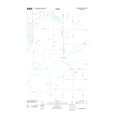
2013 Map of Lake Minnesuing
USGS Topo · Published 2013About this map
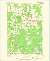
Lake Nebagamon and Lake Minnesuing anchor this corner of Douglas County, where the northern Wisconsin landscape transitions into the intricate river systems of the Bois Brule. The winding path of the Bois Brule River is central to the area's geography, fed by numerous water sources including Blue Springs, Beaupre Springs, and McDougal Springs. This 2013 survey illustrates a region defined by recreational and natural resources, with clearings for the Minnesuing Airport and public access points like Stones Bridge Landing.
Find a feature on this map
61 named features on this map. Tap any name to fly to it.
Don’t see what you’re looking for? This feature index may not catch every label — zoom into the map to look around manually.
Map Details
Editions of this 2013 Lake Minnesuing Map
This is the sole edition of this map. No revisions or reprints were ever made.
Other maps of this area
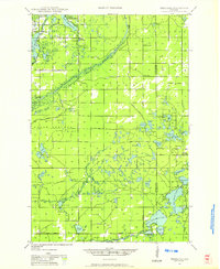
1945 · Highland
USGS Topo · 1:48,000
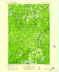
1945 · Solon Springs
USGS Topo · 1:48,000
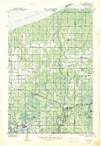
1947 · Brule
USGS Topo · 1:48,000
1949 · Solon Springs
USGS Topo · 1:48,000
1949 · Poplar
USGS Topo · 1:48,000
1949 · Highland
USGS Topo · 1:48,000

1953 · Ashland
USGS Topo · 1:250,000
1954 · Lake Nebagamon
USGS Topo · 1:24,000
1954 · Poplar
USGS Topo · 1:24,000
1958 · Ashland
USGS Topo · 1:250,000