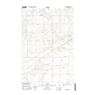
2015 Map of Lake Minnesuing
USGS Topo · Published 2015About this map
Lake Nebagamon and Lake Minnesuing anchor this northern Wisconsin landscape, where the dense glacial lake system transitions into the headwaters of the Bois Brule River. The 2015 survey reveals a quiet region defined by small lakes and water-rich terrain, including Anderson Lake, Coffee Lake, and Whisky Lake. Significant hydrological features like McDougal Springs, Blue Springs, and Beaupre Springs feed into the river system, which flows through landmarks such as Stones Bridge and Rainbow Bend. Cultural markers like Highland Memorial Cem and Barnes Cem offer points of interest for genealogists, while Minnesuing Airport and a network of rural roads such as Stone Chimney Rd and Hunter Walking Trl provide a look at modern accessibility in this timbered lake country.
Find a feature on this map
70 named features on this map. Tap any name to fly to it.
Don’t see what you’re looking for? This feature index may not catch every label — zoom into the map to look around manually.
Map Details
Editions of this 2015 Lake Minnesuing Map
This is the sole edition of this map. No revisions or reprints were ever made.
Other maps of this area

1945 · Highland
USGS Topo · 1:48,000

1945 · Solon Springs
USGS Topo · 1:48,000

1947 · Brule
USGS Topo · 1:48,000

1949 · Solon Springs
USGS Topo · 1:48,000

1949 · Poplar
USGS Topo · 1:48,000

1949 · Highland
USGS Topo · 1:48,000

1953 · Ashland
USGS Topo · 1:250,000

1954 · Lake Nebagamon
USGS Topo · 1:24,000

1954 · Poplar
USGS Topo · 1:24,000

1958 · Ashland
USGS Topo · 1:250,000