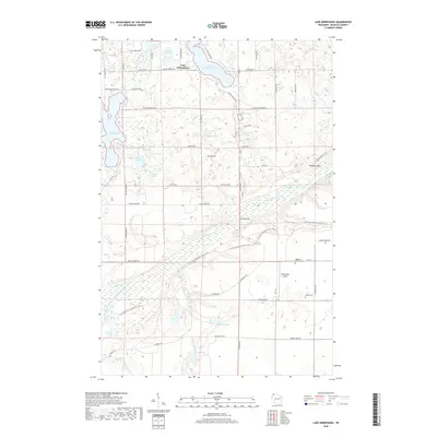
2018 Map of Lake Minnesuing
USGS Topo · Published 2018About this map
The Bois Brule River snakes through the center of this Douglas County landscape, serving as a primary drainage corridor for the surrounding kettle-and-kame topography. This glacial legacy is evident in the dense cluster of water bodies, including the large Lake Nebagamon and Lake Minnesuing, alongside smaller, sequestered basins like Whisky Lake and Coffee Lake. The presence of several named artesian sources such as McDougal Springs, Blue Springs, and Beaupre Springs underscores the area's complex hydrography.
Find a feature on this map
64 named features on this map. Tap any name to fly to it.
Don’t see what you’re looking for? This feature index may not catch every label — zoom into the map to look around manually.
Map Details
Editions of this 2018 Lake Minnesuing Map
This is the sole edition of this map. No revisions or reprints were ever made.
Other maps of this area

1945 · Highland
USGS Topo · 1:48,000

1945 · Solon Springs
USGS Topo · 1:48,000

1947 · Brule
USGS Topo · 1:48,000

1949 · Solon Springs
USGS Topo · 1:48,000

1949 · Poplar
USGS Topo · 1:48,000

1949 · Highland
USGS Topo · 1:48,000

1953 · Ashland
USGS Topo · 1:250,000

1954 · Lake Nebagamon
USGS Topo · 1:24,000

1954 · Poplar
USGS Topo · 1:24,000

1958 · Ashland
USGS Topo · 1:250,000