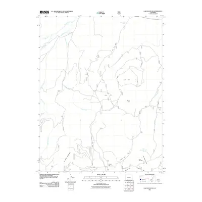
2011 Map of Lake Mountain
USGS Topo · Published 2011About this map
The La Garita Mountains define the southern landscape of this Saguache County terrain, where high-altitude parks and drainage basins form a complex hydrological network. Named meadows and clearings such as South Park, Lower South Park, and Cyclone Park are scattered across the quadrangle, serving as landmarks within the national forest system. The drainage pattern is led by Saguache Creek in the northwest and Middle Fork Carnero Creek in the south, with numerous smaller tributaries like Squaw Creek and Mountain Lion Creek carving through the slopes of Mount Lion. This 2011 survey captures the area's established forest road system, including Co Rd 41 G leading toward Carnero Pass. It is a vital record of the interior mountain geography, showing the relationship between peaks like Lake Mountain and the expansive open spaces of Browns Park and Mexican Park.
Find a feature on this map
30 named features on this map. Tap any name to fly to it.
Don’t see what you’re looking for? This feature index may not catch every label — zoom into the map to look around manually.
Map Details
Editions of this 2011 Lake Mountain Map
This is the sole edition of this map. No revisions or reprints were ever made.
Other maps of this area

1914 · Creede
USGS Topo · 1:125,000

1915 · Del Norte
USGS Topo · 1:125,000

1916 · Creede
USGS Topo · 1:125,000

1917 · Del Norte
USGS Topo · 1:125,000

1945 · Durango
USGS Topo · 1:250,000

1953 · Durango
USGS Topo · 1:250,000

1954 · Durango
USGS Topo · 1:250,000

1956 · Montrose
USGS Topo · 1:250,000

1959 · Montrose
USGS Topo · 1:250,000

1960 · Montrose
USGS Topo · 1:250,000