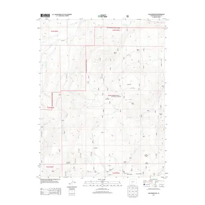
2013 Map of Lake Mountain
USGS Topo · Published 2013About this map
The Rio Grande National Forest dominates this high-altitude landscape in the southern La Garita Mountains. The map reveals a complex network of drainage systems and open meadows, or parks, that have historically supported mountain travel and ranching. Multiple creeks, including the northern Saguache Cr and the southern Middle Fork Carnero Cr, carve through the terrain, while landmarks like Lake Mountain and Mount Lion provide significant navigational anchors. The distribution of named clearings such as South Park, Long Park, and Mexican Park suggests a history of seasonal grazing and forest management. This 2013 survey provides modern clarity on the backcountry road system, including CO Road 23A and the route through Carnero Pass, essential for understanding the infrastructure that connects these high-elevation valleys.
Find a feature on this map
38 named features on this map. Tap any name to fly to it.
Don’t see what you’re looking for? This feature index may not catch every label — zoom into the map to look around manually.
Map Details
Editions of this 2013 Lake Mountain Map
This is the sole edition of this map. No revisions or reprints were ever made.
Other maps of this area

1914 · Creede
USGS Topo · 1:125,000

1915 · Del Norte
USGS Topo · 1:125,000

1916 · Creede
USGS Topo · 1:125,000

1917 · Del Norte
USGS Topo · 1:125,000

1945 · Durango
USGS Topo · 1:250,000

1953 · Durango
USGS Topo · 1:250,000

1954 · Durango
USGS Topo · 1:250,000

1956 · Montrose
USGS Topo · 1:250,000

1959 · Montrose
USGS Topo · 1:250,000

1960 · Montrose
USGS Topo · 1:250,000