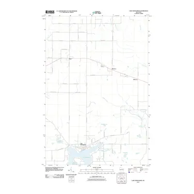
2010 Map of Lake Nebagamon
USGS Topo · Published 2010About this map
Lake Nebagamon serves as the central focal point of this northern Wisconsin landscape, where the namesake village sits on the northwestern shore at the junction of E County Hwy-B and S Degerman Rd. The terrain is defined by a dense network of waterways feeding into the lake, including Nebagamon Creek and numerous small basins like Little Steele Lake and Minnow Lake. To the north, the small settlements of Maple, Blueberry, and Bellwood are linked by the regional road and rail corridor, reflecting a classic Northwoods development pattern where small crossroads communities support the surrounding timberlands and vacation properties.
Find a feature on this map
53 named features on this map. Tap any name to fly to it.
Don’t see what you’re looking for? This feature index may not catch every label — zoom into the map to look around manually.
Map Details
Editions of this 2010 Lake Nebagamon Map
This is the sole edition of this map. No revisions or reprints were ever made.
Other maps of this area

1945 · Highland
USGS Topo · 1:48,000

1945 · Solon Springs
USGS Topo · 1:48,000

1947 · Brule
USGS Topo · 1:48,000

1949 · Solon Springs
USGS Topo · 1:48,000

1949 · Poplar
USGS Topo · 1:48,000

1949 · Highland
USGS Topo · 1:48,000

1953 · Ashland
USGS Topo · 1:250,000

1954 · Lake Nebagamon
USGS Topo · 1:24,000

1954 · Poplar NE
USGS Topo · 1:24,000

1954 · Poplar
USGS Topo · 1:24,000