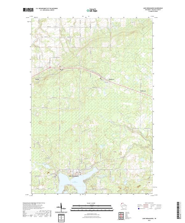
2022 Map of Lake Nebagamon
USGS Topo · Published 2022About this map
The waters of Lake Nebagamon anchor this Douglas County landscape, serving as a focal point for the surrounding village and rural townships. Modern transportation and recreation patterns are defined by the Tri-Co Corridor, which traverses the northern half of the quadrangle through the communities of Poplar, Maple, and Blueberry. This linear path follows a legacy transportation route that connected these small Douglas County settlements.
Find a feature on this map
89 named features on this map. Tap any name to fly to it.
Don’t see what you’re looking for? This feature index may not catch every label — zoom into the map to look around manually.
Map Details
Editions of this 2022 Lake Nebagamon Map
This is the sole edition of this map. No revisions or reprints were ever made.
Other maps of this area

1945 · Highland
USGS Topo · 1:48,000

1945 · Solon Springs
USGS Topo · 1:48,000

1947 · Brule
USGS Topo · 1:48,000

1949 · Solon Springs
USGS Topo · 1:48,000

1949 · Poplar
USGS Topo · 1:48,000

1949 · Highland
USGS Topo · 1:48,000

1953 · Ashland
USGS Topo · 1:250,000

1954 · Lake Nebagamon
USGS Topo · 1:24,000

1954 · Poplar NE
USGS Topo · 1:24,000

1954 · Poplar
USGS Topo · 1:24,000