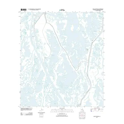
2012 Map of Lake Quitman
USGS Topo · Published 2012About this map
Dulac serves as a focal point for this coastal Terrebonne Parish landscape, where the intricate network of waterways defines the region's geography. The Dulac Bridge crosses over to Four Point Rd, linking the community to the extensive marshlands and bayous that dominate the terrain. Industry and community life are intertwined along these banks, visible through labels like Shrimpers Row and the Lapeyrouse Oil and Gas Field.
Find a feature on this map
28 named features on this map. Tap any name to fly to it.
Don’t see what you’re looking for? This feature index may not catch every label — zoom into the map to look around manually.
Map Details
Editions of this 2012 Lake Quitman Map
This is the sole edition of this map. No revisions or reprints were ever made.
Other maps of this area

1894 · Bayou De Large
USGS Topo · 1:62,500

1894 · Dulac
USGS Topo · 1:62,500

1935 · Cocodrie
USGS Topo · 1:31,680

1935 · Theriot
USGS Topo · 1:31,680

1935 · Bourbeux
USGS Topo · 1:31,680

1935 · Montegut
USGS Topo · 1:31,680

1935 · Lake Quitman
USGS Topo · 1:31,680

1935 · Lake Gero
USGS Topo · 1:31,680

1940 · Bayou Du Large
USGS Topo · 1:62,500

1941 · Bayou Du Large
USGS Topo · 1:62,500