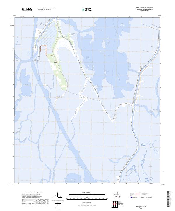
2024 Map of Lake Quitman
USGS Topo · Published 2024About this map
Dulac serves as the primary settlement in this water-dominated landscape, situated along the banks of Bayou Grand Caillou. The map details an intricate network of natural bayous and man-made waterways, including the massive Houma Navigation Canal and Robinson Canal, which facilitate movement through the marshy terrain of Terrebonne Parish. Family history is anchored at the Picou Cem near the eastern edge of the quadrangle, reflecting the long-standing community ties to the land.
Find a feature on this map
50 named features on this map. Tap any name to fly to it.
Don’t see what you’re looking for? This feature index may not catch every label — zoom into the map to look around manually.
Map Details
Editions of this 2024 Lake Quitman Map
This is the sole edition of this map. No revisions or reprints were ever made.
Other maps of this area

1894 · Bayou De Large
USGS Topo · 1:62,500

1894 · Dulac
USGS Topo · 1:62,500

1935 · Cocodrie
USGS Topo · 1:31,680

1935 · Theriot
USGS Topo · 1:31,680

1935 · Bourbeux
USGS Topo · 1:31,680

1935 · Montegut
USGS Topo · 1:31,680

1935 · Lake Quitman
USGS Topo · 1:31,680

1935 · Lake Gero
USGS Topo · 1:31,680

1940 · Bayou Du Large
USGS Topo · 1:62,500

1941 · Bayou Du Large
USGS Topo · 1:62,500