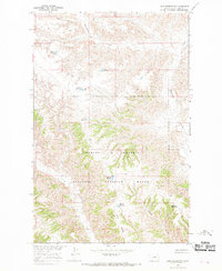
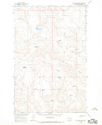
1965 Map of Lake Reservoir
USGS Topo · Published 1969About this map
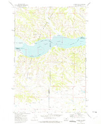
Charles M Russell National Wildlife Range defines the southern half of this landscape, reflecting federal conservation efforts in the Missouri River Basin during the mid-1960s. The map illustrates a highly managed water system designed for the arid Montana plains, featuring an extensive network of small catchments such as Monster Reservoir, Lake Reservoir, and Badger Reservoir. These man-made features, alongside isolated points like the Flowing Well, underscore the critical importance of water security for livestock and wildlife in Phillips County. The drainage patterns of Beauchamp Creek and Cline Creek cut through the breaks, leading toward the coulees and ridges that characterize the local topography. This 1965 field-checked survey preserves the exact placement of fence lines and ranching infrastructure within the Wildlife Range before later environmental shifts or administrative changes altered the land use of this Missouri River tributary area.
Find a feature on this map
19 named features on this map. Tap any name to fly to it.
Don’t see what you’re looking for? This feature index may not catch every label — zoom into the map to look around manually.
Map Details
Editions of this 1965 Lake Reservoir Map
This is the sole edition of this map. No revisions or reprints were ever made.
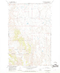
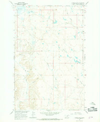
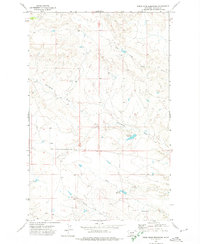
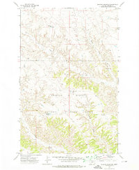
Other maps of this area

1954 · Lewistown
USGS Topo · 1:250,000

1959 · Lewistown
USGS Topo · 1:250,000
1965 · Karsten Coulee
USGS Topo · 1:24,000
1965 · Dry Coulee
USGS Topo · 1:24,000
1965 · Chain Buttes
USGS Topo · 1:24,000
1965 · Dry Fork Ridge
USGS Topo · 1:24,000
1965 · Barber Coulee
USGS Topo · 1:24,000
1971 · Bison Bone Reservoir
USGS Topo · 1:24,000
1971 · Blizzard Reservoir
USGS Topo · 1:24,000
1971 · Hanson Flat
USGS Topo · 1:24,000