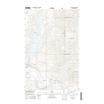
2014 Map of Lake Shannon
USGS Topo · Published 2014About this map
Lake Shannon and the Skagit River dominate this terrain within the Mount Baker National Forest. The map documents the industrial and hydroelectric footprint of the region, anchored by the Bear Creek Powerhouse and the nearby settlement of Concrete. The Skagit flows through the southern portion of the sheet, carving out the Skagit Valley where the small community of Van Horn and the site of Faber Ferry are located.
Find a feature on this map
40 named features on this map. Tap any name to fly to it.
Don’t see what you’re looking for? This feature index may not catch every label — zoom into the map to look around manually.
Map Details
Editions of this 2014 Lake Shannon Map
This is the sole edition of this map. No revisions or reprints were ever made.
Other maps of this area

1899 · Stillaguamish
USGS Topo · 1:125,000

1901 · Stilaguamish
USGS Topo · 1:125,000

1909 · Mt Baker
USGS Topo · 1:192,000

1915 · Mt. Baker
USGS Topo · 1:250,000

1952 · Lake Shannon
USGS Topo · 1:62,500

1952 · Hamilton
USGS Topo · 1:62,500

1955 · Concrete
USGS Topo · 1:250,000

1956 · Oso
USGS Topo · 1:62,500

1958 · Concrete
USGS Topo · 1:250,000

1962 · Concrete
USGS Topo · 1:250,000