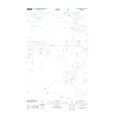
2013 Map of Lake Tahkodah
USGS Topo · Published 2013About this map
Lake Tahkodah and the surrounding Tahkodah Hills anchor this northern Wisconsin landscape as it appeared in the early 21st century. The glacial geography of Bayfield County is defined here by a dense concentration of water bodies, from the prominent Namekagon River winding through the center to smaller, sequestered basins like Filing Shed Lake and Horseshoe Lake in the south. The area's character is a blend of recreational infrastructure and forest management, evidenced by the Tahkodah Hills Golf Course and an extensive network of Forest Service roads, such as FR 272 and FR 1730.
Find a feature on this map
61 named features on this map. Tap any name to fly to it.
Don’t see what you’re looking for? This feature index may not catch every label — zoom into the map to look around manually.
Map Details
Editions of this 2013 Lake Tahkodah Map
This is the sole edition of this map. No revisions or reprints were ever made.
Other maps of this area

1943 · Namekagon Lake
USGS Topo · 1:48,000

1944 · Drummond
USGS Topo · 1:48,000

1944 · Grandview
USGS Topo · 1:48,000

1944 · Hayward
USGS Topo · 1:48,000

1945 · Namekagon Lake
USGS Topo · 1:48,000

1947 · Drummond
USGS Topo · 1:48,000

1947 · Grandview
USGS Topo · 1:48,000

1953 · Ashland
USGS Topo · 1:250,000

1958 · Ashland
USGS Topo · 1:250,000
1971 · Cable
USGS Topo · 1:24,000