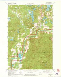
1971 Map of Cable
USGS Topo · Published 1973About this map
The Namekagon River winds through the heart of this Northwoods landscape, protected here by the St Croix National Scenic Riverway. The settlement of Cable serves as a primary hub, situated near St Anne Cem and Greenwood Cem. Development in the early 1970s is characterized by recreation and transit, with Ski Lifts operating on Mount Telemark and the Cable Union Airport providing air access to the region's numerous glacial lakes, including Lake Owen, Cable Lake, and Pacwawong Lake.
Find a feature on this map
45 named features on this map. Tap any name to fly to it.
Don’t see what you’re looking for? This feature index may not catch every label — zoom into the map to look around manually.
Map Details
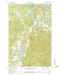
Editions of this 1971 Cable Map
2 editions found
Other maps of this area

1943 · Namekagon Lake
USGS Topo · 1:48,000

1944 · Drummond
USGS Topo · 1:48,000

1944 · Grandview
USGS Topo · 1:48,000

1944 · Hayward
USGS Topo · 1:48,000

1945 · Namekagon Lake
USGS Topo · 1:48,000

1947 · Drummond
USGS Topo · 1:48,000

1947 · Grandview
USGS Topo · 1:48,000

1953 · Ashland
USGS Topo · 1:250,000

1958 · Ashland
USGS Topo · 1:250,000
1971 · Upper Eau Claire Lake
USGS Topo · 1:24,000