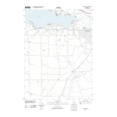
2010 Map of Lakewood
USGS Topo · Published 2010About this map
Chautauqua Lake anchors the northern landscape of this region, its southern shoreline densely packed with residential communities like Lakewood and Celoron. The transition from the urban density of western Jamestown to the rural south is marked by a significant concentration of family-named burial grounds, including Bentley Cemetery, Hatch Cemetery, and Knapp Cemetery, which serve as vital markers for genealogical research.
Find a feature on this map
74 named features on this map. Tap any name to fly to it.
Don’t see what you’re looking for? This feature index may not catch every label — zoom into the map to look around manually.
Map Details
Editions of this 2010 Lakewood Map
This is the sole edition of this map. No revisions or reprints were ever made.
Other maps of this area

1904 · Chautaqua
USGS Topo · 1:62,500

1905 · Jamestown
USGS Topo · 1:62,500

1906 · Warren
USGS Topo · 1:62,500

1907 · Warren
USGS Topo · 1:62,500

1908 · Warren
USGS Topo · 1:62,500

1926 · Youngsville
USGS Topo · 1:62,500

1929 · Youngsville
USGS Topo · 1:62,500

1941 · Chautauqua
USGS Topo · 1:62,500

1942 · Jamestown
USGS Topo · 1:62,500

1943 · Youngsville
USGS Topo · 1:62,500