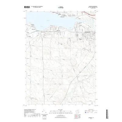
2019 Map of Lakewood
USGS Topo · Published 2019About this map
Chautauqua Lake dominates the northern landscape, where a string of established lakeside communities like Lakewood, Celoron, and Point Stockholm line the shores of Burtis Bay and Shermans Bay. This 2019 survey captures the dense residential grid of Jamestown and its western suburbs, including the campus of Jamestown Business College. The transition from the urbanized lakefront to the rural uplands is marked by numerous small burial grounds that speak to the area's deep family roots, such as Sunset Hill Cem and Wintergreen Cem.
Find a feature on this map
131 named features on this map. Tap any name to fly to it.
Don’t see what you’re looking for? This feature index may not catch every label — zoom into the map to look around manually.
Map Details
Editions of this 2019 Lakewood Map
This is the sole edition of this map. No revisions or reprints were ever made.
Other maps of this area

1904 · Chautaqua
USGS Topo · 1:62,500

1905 · Jamestown
USGS Topo · 1:62,500

1906 · Warren
USGS Topo · 1:62,500

1907 · Warren
USGS Topo · 1:62,500

1908 · Warren
USGS Topo · 1:62,500

1926 · Youngsville
USGS Topo · 1:62,500

1929 · Youngsville
USGS Topo · 1:62,500

1941 · Chautauqua
USGS Topo · 1:62,500

1942 · Jamestown
USGS Topo · 1:62,500

1943 · Youngsville
USGS Topo · 1:62,500